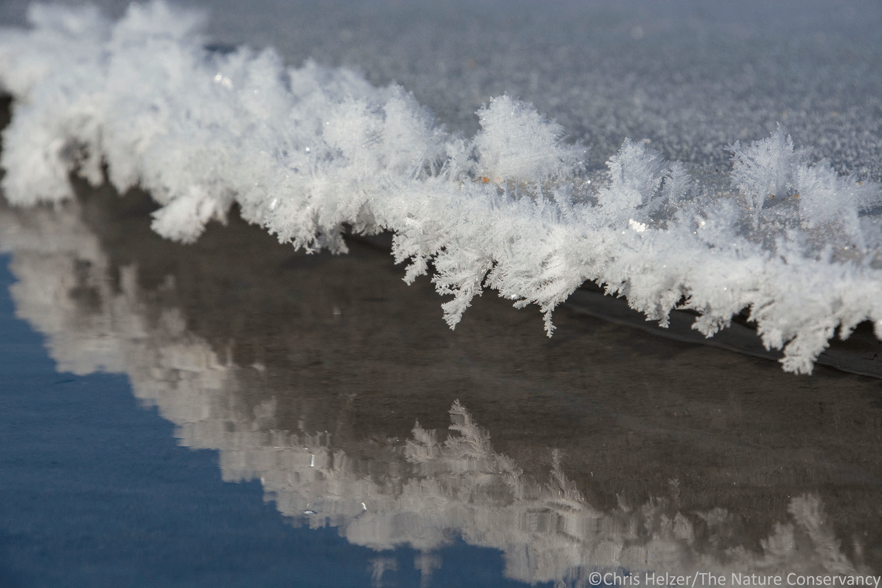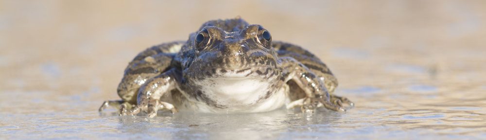
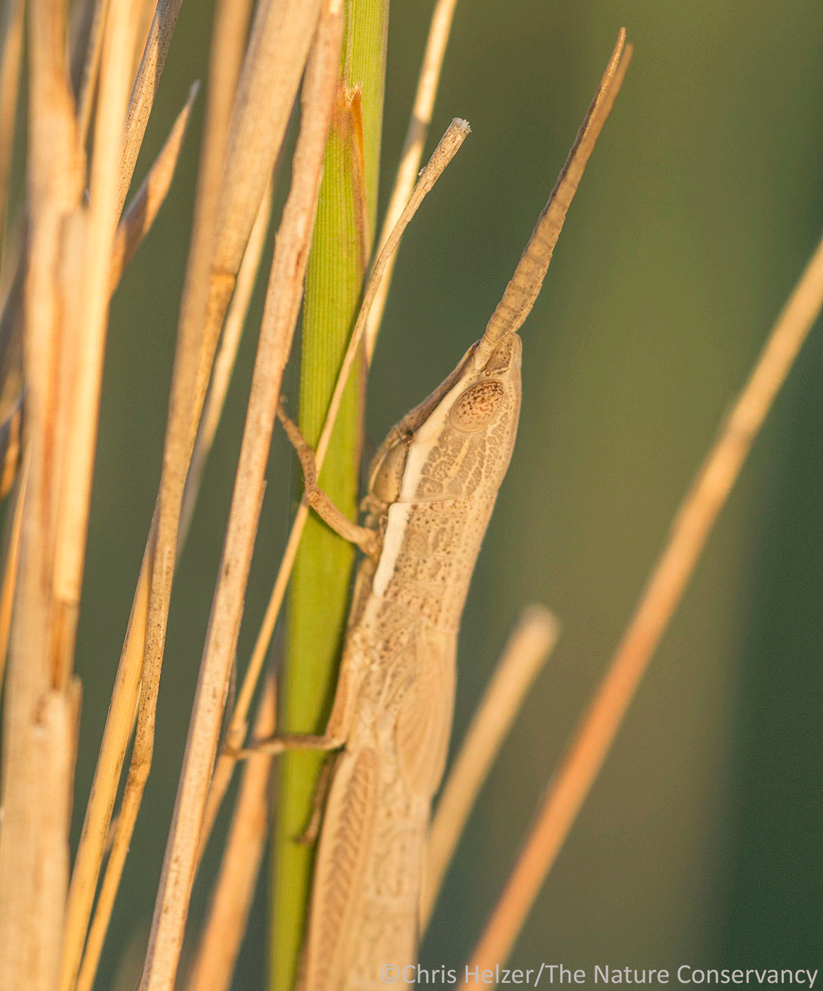
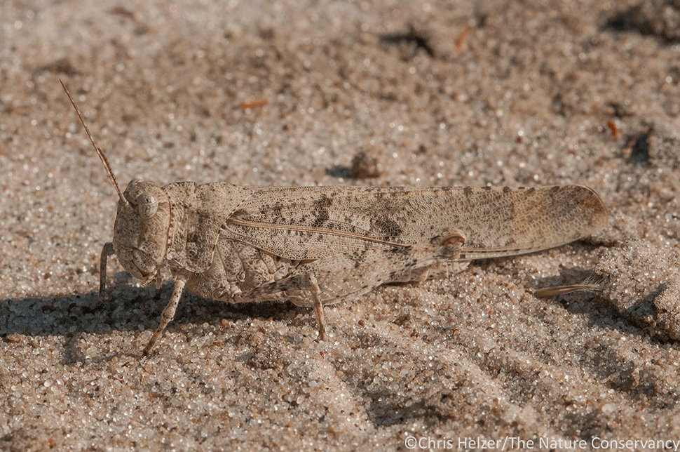
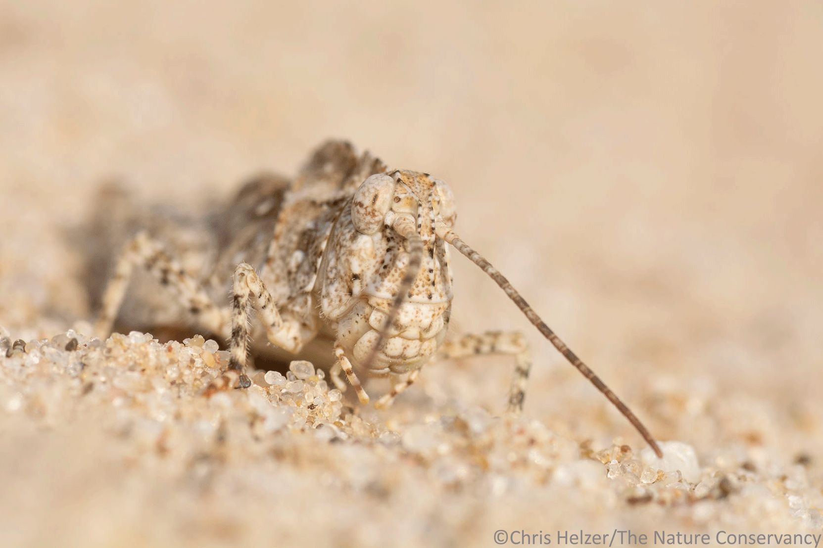
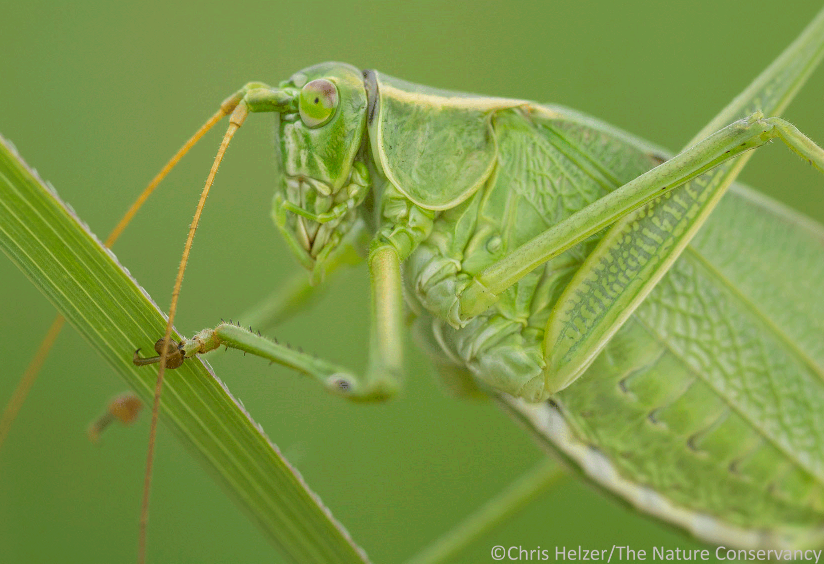
Grasshoppers and katydids provide abundant and nutritious food to many birds and other animals. That works out great for those other animals, but if you’re a grasshopper or katydid, it behooves you to not stand out in a crowd (or a prairie). There are countless examples of great camouflage in the insect world, but I’ve always particularly appreciated the evolved ability of orthopterans to blend into the background. Of course, that sometimes makes photography a challenge, but not in a bad way.
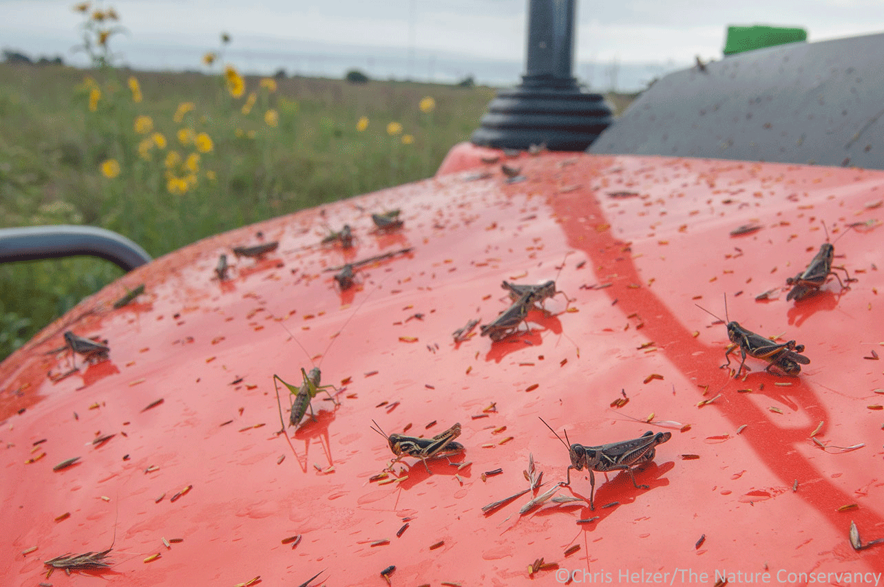
Grasshoppers don’t rely solely on hiding for survival, of course. They are also incredible jumpers, with the ability to instantly propel themselves impressive distances through the air when they feel threatened. If they’re caught, they can also expel gross substances out of both ends of their bodies to make predators rethink their choices.
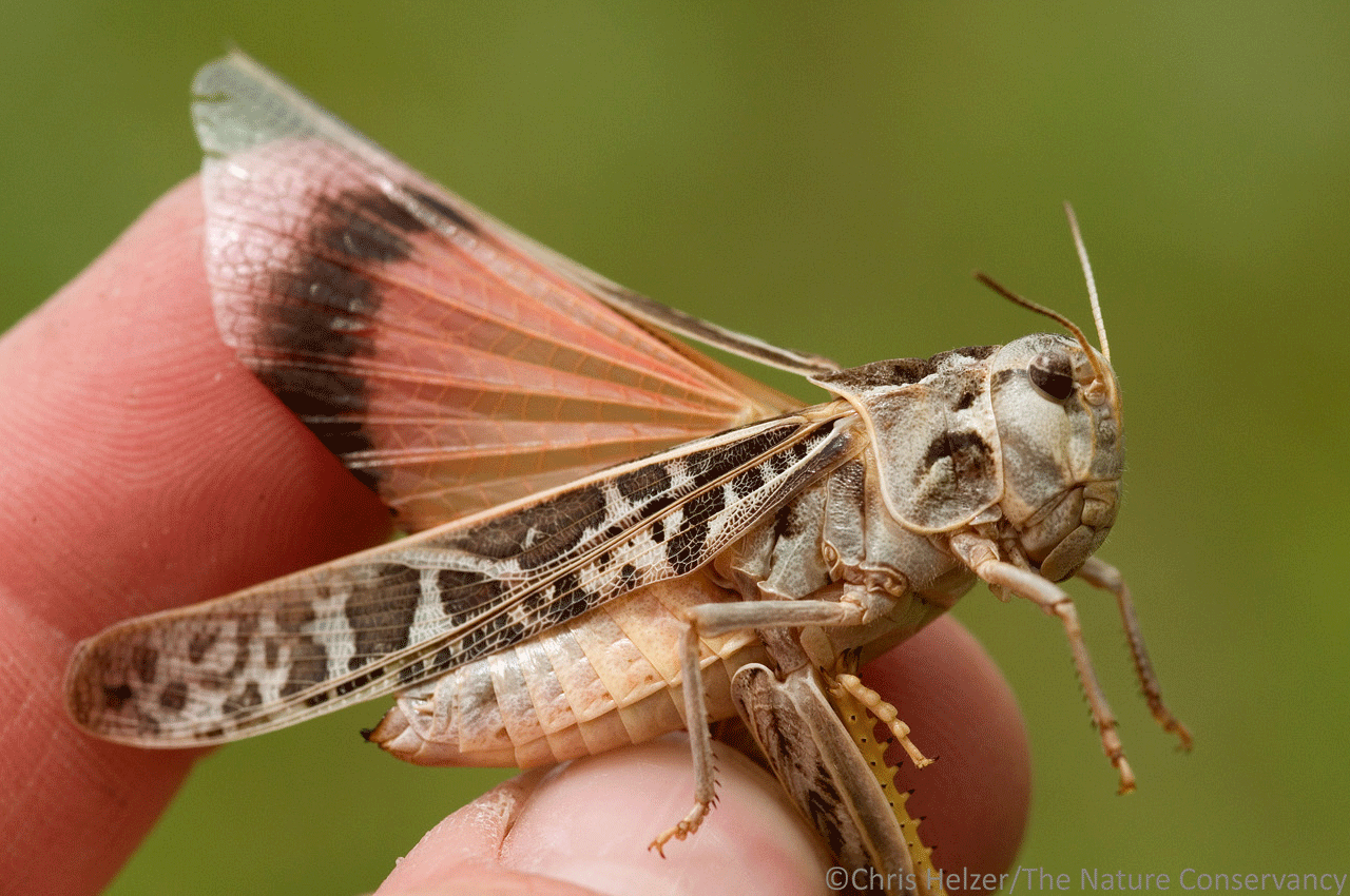
Mature band-winged grasshoppers flash colorful wings and make a loud ‘clacking’ sound as they flee (by jumping into the air and flying), which must be awfully startling and distracting to potential predators. If the strategy works, the predator won’t see exactly where the grasshopper lands and its incredible camouflage makes it difficult to find again. (This strategy also works on photographers, by the way, not just predators.)
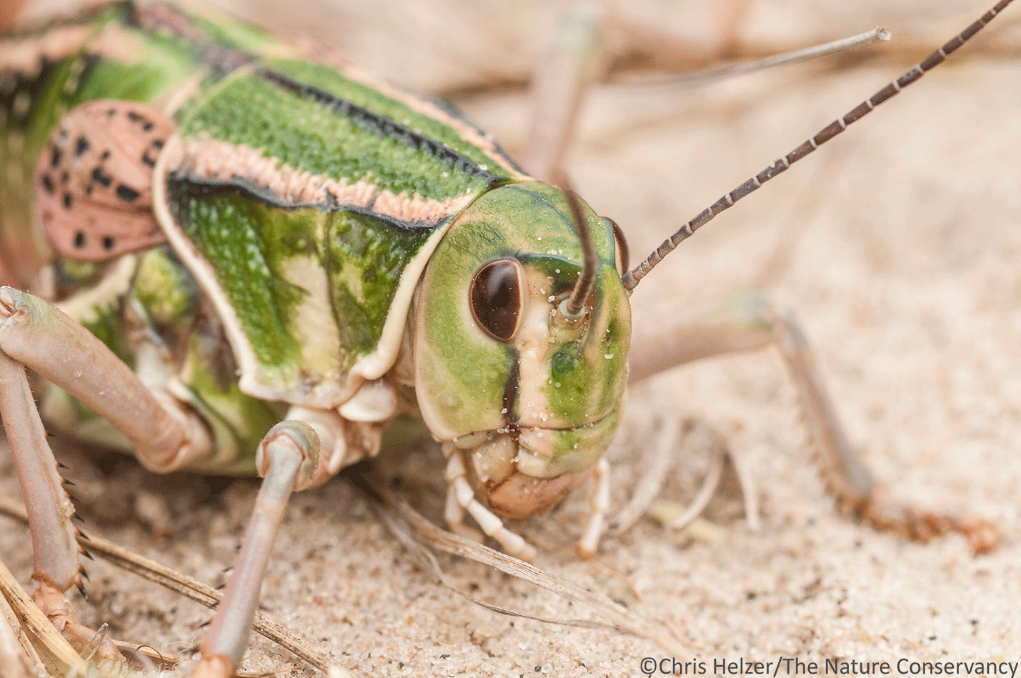
Grasshoppers are a much more diverse and interesting group of insects than they’re often given credit for. They have complex communication strategies, for example, including both visual and auditory signals. Many people might also be surprised to know that not all grasshoppers eat grass. In fact, quite a few grasshoppers are quite specialized in their diet choices and a lot of them feed on broad-leaved plants instead of grasses.

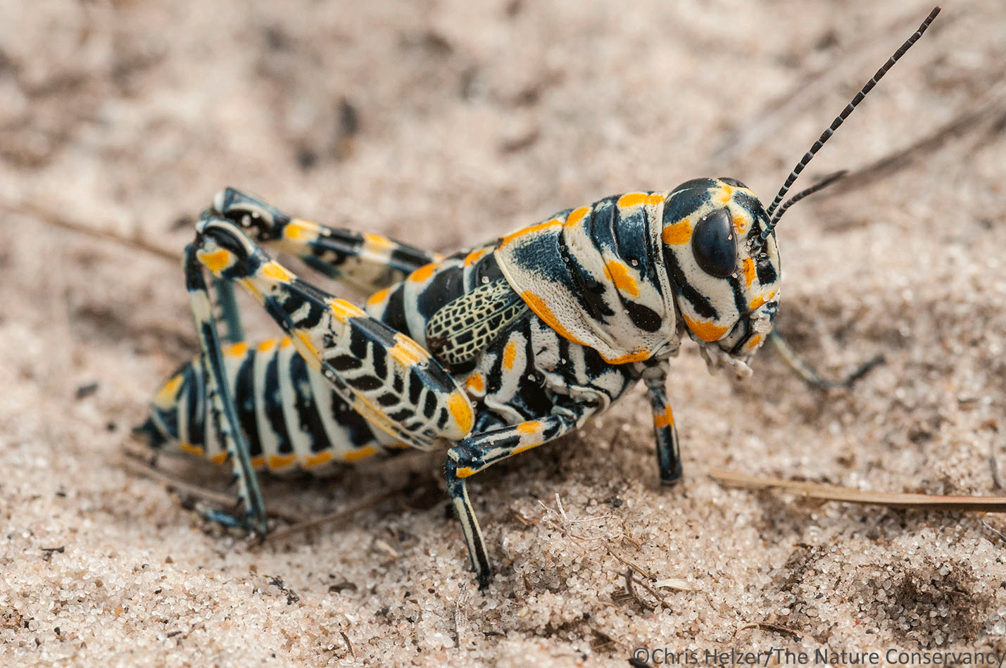
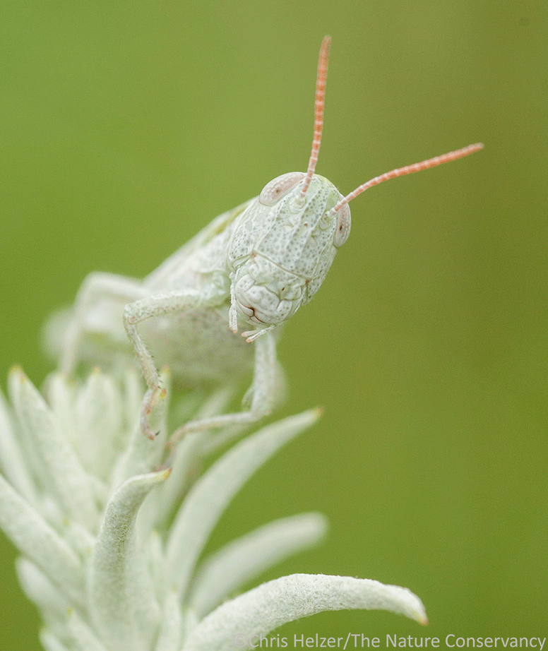
We’re creeping closer to the beginning of grasshopper season here in Nebraska. Some species overwinter as adults and can be often be found soaking up the sun on warm days in late March or early April. Soon after, they’re joined by many others – of all different sizes and colors. If you’ve never paid special attention to the diversity and beauty of grasshoppers and katydids, maybe this would be a good year to start.
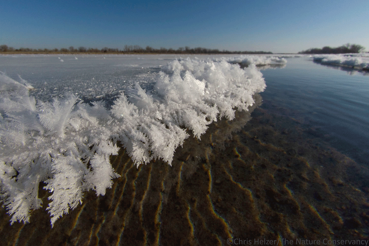
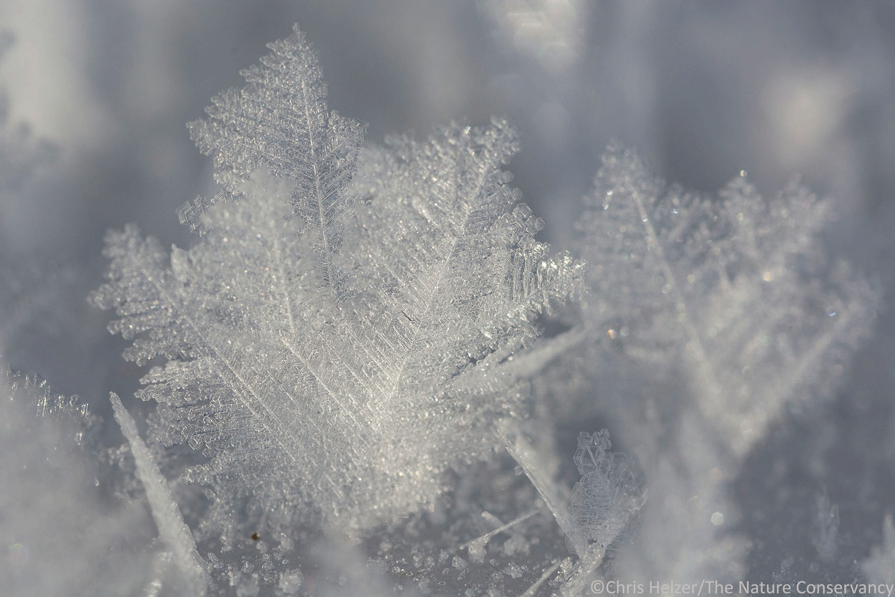
If you can find them.