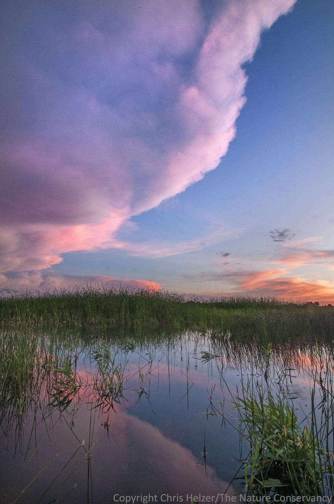
It’s timelapse photography time again… I downloaded more photos from the cameras at our restored wetland in the Platte River Prairies a couple weeks ago, and have been looking through the images for stories. One theme that stood out in this batch was the variability of the water level in the wetland through time.
This wetland is directly connected to the water table, but is also supplied by a groundwater-fed stream that brings both rainwater and groundwater from about 25 miles west of us. Platte River flows and irrigation pumping both influence the water table here in the Platte Valley, as does evapotranspiration by plants – and other factors. It’s a complicated series of events and processes. However, in general, we expect the water table to be relatively high in the spring and to decline as summer progresses. I looked at photos from early June and early July (below) and that pattern of summer decline is apparent this year.

June 8, 2014. A panoramic image created by merging photos from two adjacent timelapse cameras.

July 8, 2014. You can click on each photo to see a larger/sharper version of it.
Seeing the pattern of water level rise and fall through weeks and months is interesting, and timelapse photography allows us to watch that pattern pretty easily. However, it’s also interesting to look at shorter-duration patterns. I shared one example of that back in December, with a series of images showing daily water level drops due to evapotranspiration. Today, I’m sharing a second example of short-term water level changes – this time, it’s due to water coming downstream after a rain event.
In the early morning of June 21, 2014, a big storm system moved through our area, dumping between 2 and 4 inches of rain. The map below shows the precipitation amounts from that storm.

This image from the National Weather Service (http://water.weather.gov/precip/) shows rain amounts for our area on June 21. The black arrow indicates the location of our wetland.
Rainwater from the storm swelled the stream that flows into our wetland, but also created runoff flow throughout the watershed. The Youtube video below shows the water level changes in our wetland through the day on June 21, 2014, starting at 7am and ending at 8pm. The changing light conditions from image to image make it a little difficult to see, so you may have watch it several times to get the full effect. The foreground, the green peninsula on the left, and the little island just left of center are all good landmarks to help see the water level change.
There’s nothing earth-shattering about stream or wetland water levels rising and falling after a big rain event. On the other hand, it’s not often we get the opportunity to actually see it happen. Timelapse photography gives us the opportunity to compress time and see natural processes from a different perspective. For me, at least, that opportunity helps me better understand and appreciate the variability of the earth we live on.
As always, thanks to Moonshell Media for their help with this timelapse photography project. If you’re interested in exploring timelapse photography for conservation purposes, you can contact them at 402 817 4313 or info@moonshellmedia.com.