It’s amazing what you can see when you compress time.
Back in October, I posted some early results from a timelapse photography project at our Niobrara Valley Preserve. That project is helping document the recovery of the property from a wildfire and to see other changes that our eyes would otherwise miss. We’re hoping to learn just as much from a similar, though smaller, timelapse project along a restored wetland/stream complex in the Platte River Prairies. Last week, I got my hands on the images from that project and have been looking through them to see what we can learn.
So far, one of the most fascinating things I’ve seen comes from a series of images from July 2012 – right after the camera was installed. As I scanned through the photos, I realized that one little wetland pool kept changing size. Its water level (exposed groundwater) was going up and down, making the pool bigger and smaller. Looking more closely, I realized that it was happening in a regular daily pattern. I’ve put a selection of images from a three day timeframe into a slideshow below. If you let your cursor hover over the slideshow window, you can click the arrows to move through the images more quickly. Watch the water level in the pool in the center of the photo – it starts out full in the morning, empties as the day goes along, and then is full again the next morning. This same pattern repeated itself over and over throughout the summer.
This slideshow requires JavaScript.
I shared what I was seeing with John Heaston, The Nature Conservancy’s Platte River Program Director (in Cozad, Nebraska), who said the pattern is a great illustration of the effects of evapotranspiration – the process through which water moves from the surface of the earth to the atmosphere. Evapotranspiration is a combination of direct evaporation of exposed water and plant transpiration – the movement of water out of a plant’s stomata (pores in their leaves).
Plants try to regulate how much water they lose through their stomata by opening and closing those pores, but transpiration is also strongly affected by light, heat, humidity, and wind. During hot, dry and windy days, plants pull a lot of water in through their roots and then lose it into the atmosphere as they try to cool themselves. In dry soils, plants may shut their stomata altogether during the hottest part of the day in order to conserve moisture. In wetlands, however, plants have abundant water, so they can continue transpiration through the heat of the afternoon. Add that high rate of transpiration to the evaporation of standing water during those same sunny afternoons, and you have evapotranspiration in high gear.
What’s exciting to me about these timelapse images is the opportunity to watch evapotranspiration happen. The plants in the wetland are pulling so much water from the ground during the day, the local level of groundwater drops by at least a few inches. During the night, transpiration slows dramatically, and that groundwater level recovers. Interestingly, the stream to the left of the little pool doesn’t appear to change during the day. While it doesn’t appear to have a strong flow, there is presumably enough water coming from upstream to negate any losses from plant transpiration, so the level of water stays stable through the day.
Watching the repeating pattern of dropping and rising water levels in a wetland is fascinating. It’s as if we’re watching the earth breathe – which, in some ways, we are. It’s also a great example of the power of timelapse photography. By condensing time, we can see patterns we would otherwise miss.
To see more examples of timelapse photography, check out the Platte Basin Timelapse Project’s website. They have one of their cameras on this same wetland (separate from the one that produced the images shown above) and you can see a couple years’ worth of images in a few minutes.
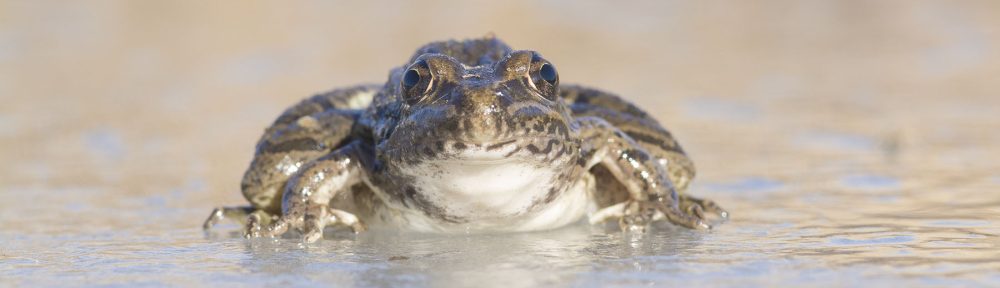
The other interesting aspect of both sets of timelapse imagery from this wetland is that 2012 was the driest year on record for this area. Most streams, rivers, and wetlands went dry last summer, including most of the stream that runs through our property. However, throughout the entire summer, the wetlands and stream in the stretch shown by these cameras maintained a fairly steady water level. It’s one of the reasons we’ve spent so much effort trying to restore the site – we feel like we need to take full advantage of the unique resource there. We’re not sure why the groundwater is so strong in that particular place, but in dry years, the fish, birds, invertebrates, and plants sure appreciate it. So do we.
Thanks to John Heaston and Tala Awada for technical help with this post. Any errors are mine, not theirs. In addition, thanks to Michael Forsberg and Jeff Dale of Moonshell Media for partnering with us on the set-up of the timelapse project(s), and to Steven Speicher for his help and advice.