As I was preparing to post this blog, I received the latest installment of Ian Lunt’s blog, which gives very good advice to science bloggers about how to capture and hold an audience’s attention. Ironically, I’d just been worrying that my new post wasn’t as pithy as it could be, and had even asked my kids to read it and tell me what they thought. I didn’t actually change the post after reading Ian’s advice, but I did change the “headline” to make it more snappy. I hope Ian approves… (The fact remains, however, that the following post is really just a series of pictures I thought were nice, so feel free to skip it and find something more productive to do. The only good news is that there’s very little text to slog through… So, with that sales pitch – here you go!)
I’ve been going through more timelapse images from the Niobrara Valley Preserve recently. There are numerous story lines from the cameras there, all of which tell a tale of recovery and resilience following the big wildfire in 2012. In a smaller way, however, looking through the images also demonstrates how much the appearance of a site changes from day to day.
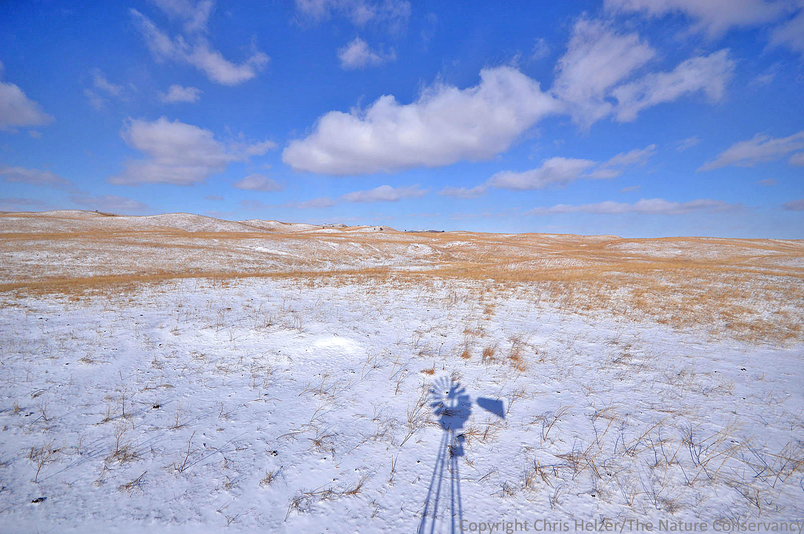
In this post, I’m showing seven images taken by the same camera, from the same perspective, but on different days and at different times through the 2014 season. The camera that took the photos is mounted high atop a windmill at the south end of a 10,000 acre bison pasture. These seven images of sandhill prairie span an eight month period.
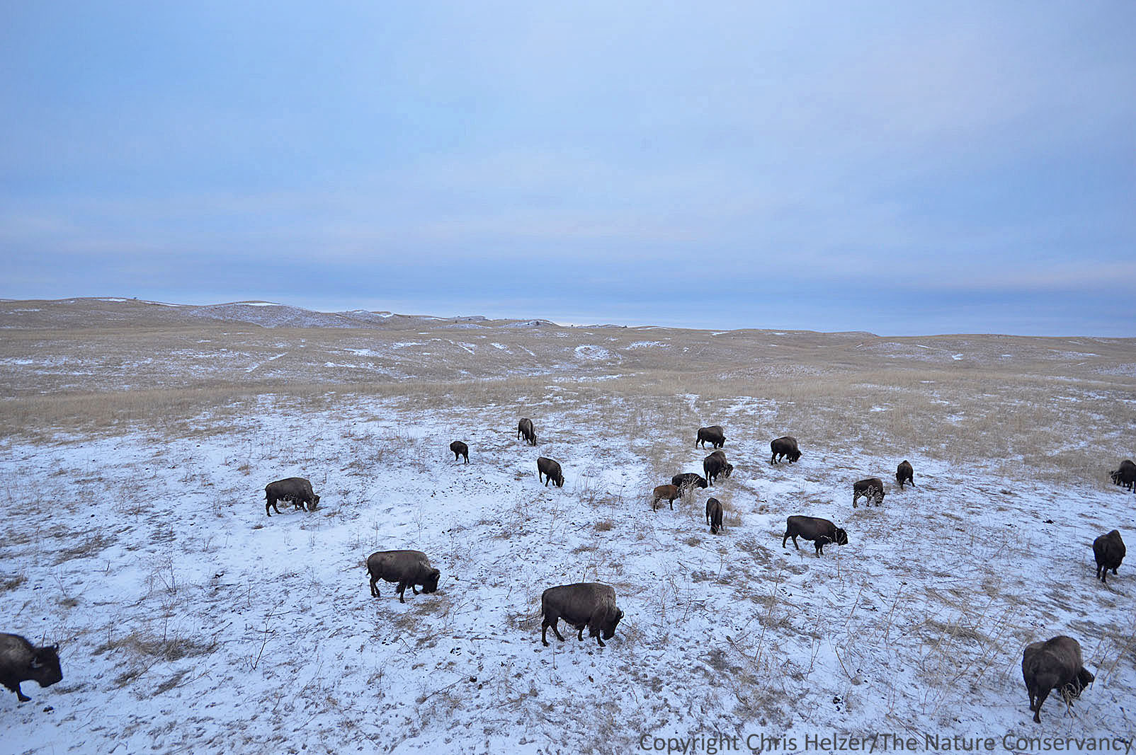
January 8, 2014. 6pm.
February 5, 2014. 3pm.

April 5, 2014. 7pm.

May 17, 2014. 7:30pm.

July 24, 2014. 9pm.

August 15, 2014. 9:30am.

August 15, 2014. 8pm.
All of us who visit someplace regularly recognize that it never looks exactly the same twice, but we usually compare what we see today with what we remember from an earlier time. Timelapse photos allow us to record those variations and compare them side by side.
Ok, sure, the presence or absence of bison helps distinguish some of these photos from others, but bison are also a part of (and a driver of) the changing landscape at the Niobrara Valley Preserve. More to the point of this post, however, are the differences in the quality, direction, and intensity of light between photos; not to mention the varied appearances of the sky and the growth stage of the prairie vegetation. The prairie can look starkly different even within the same day – as shown by the last two photos.
There are countless reasons a prairie changes in appearance from day to day, even from moment to moment. More importantly, however, those changes should motivate us to get out and enjoy nature even more often. After all, you never know what you’ll see!
As always, thanks to everyone at Moonshell Media for their help with this timelapse project.


