Habitat Heterogeneity in One Photo

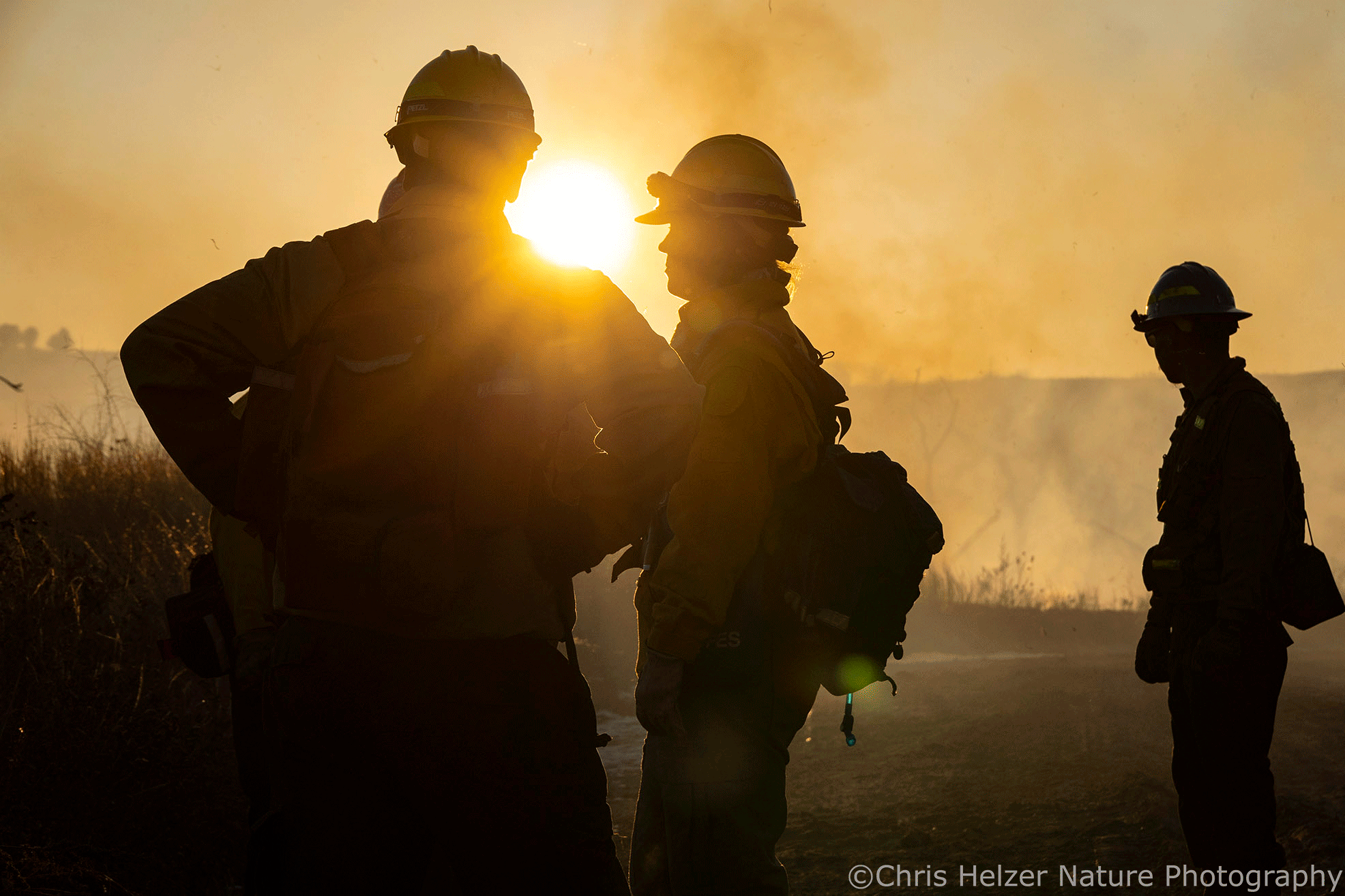
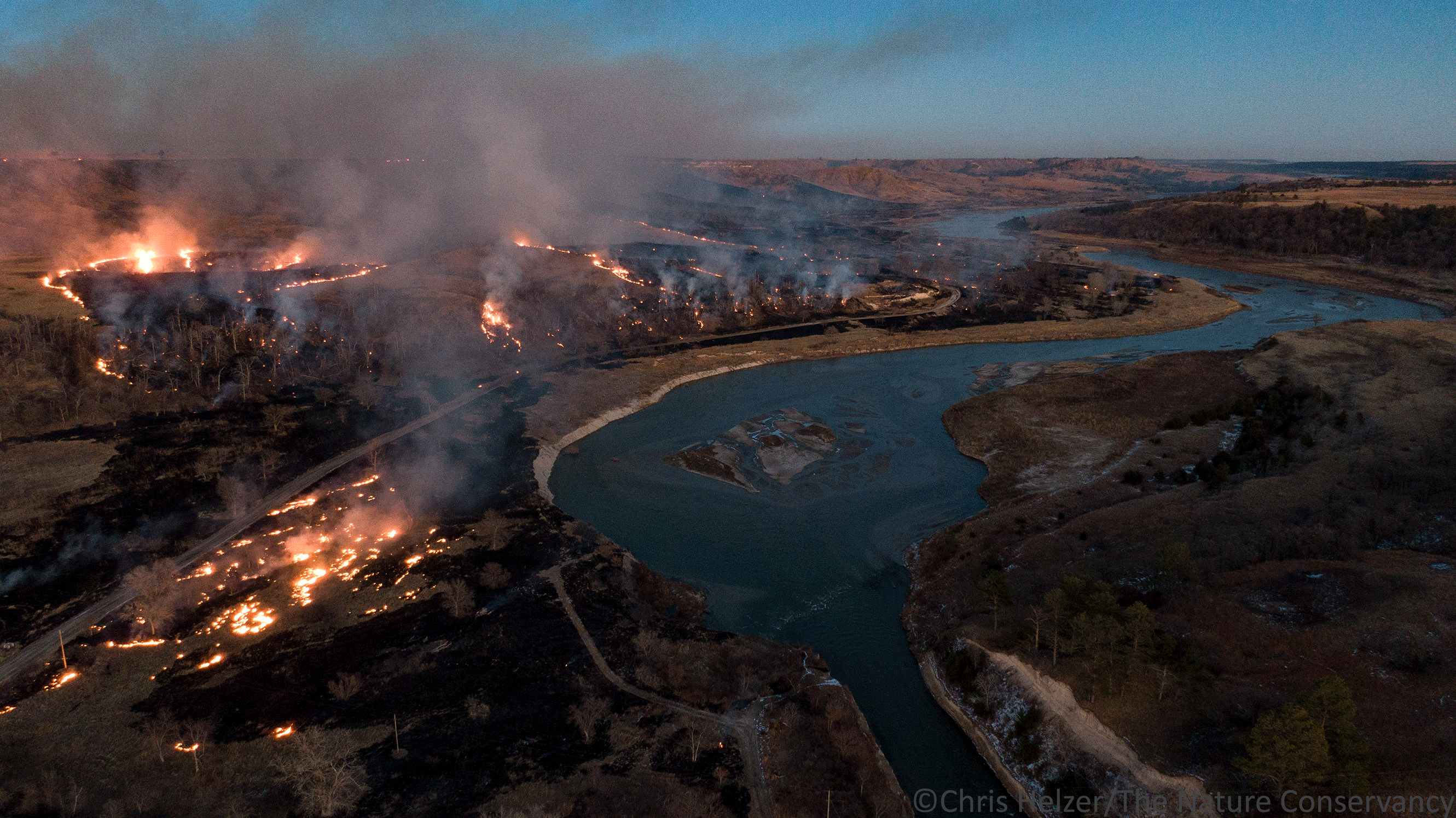
I was featured on a podcast episode that came out today. I’ve enjoyed being a guest on quite a few podcasts, but I think this one might have produced the best synthesis of many of my thoughts on prairie management. If you’re interested in listening to it, check out the Wild Ag Podcast on your favorite app or click here.

A variety of habitat conditions across one swath of grassland at The Nature Conservancy’s Platte River Prairies in Nebraska back in 2023. Click on the photo if you want to see a bigger version.

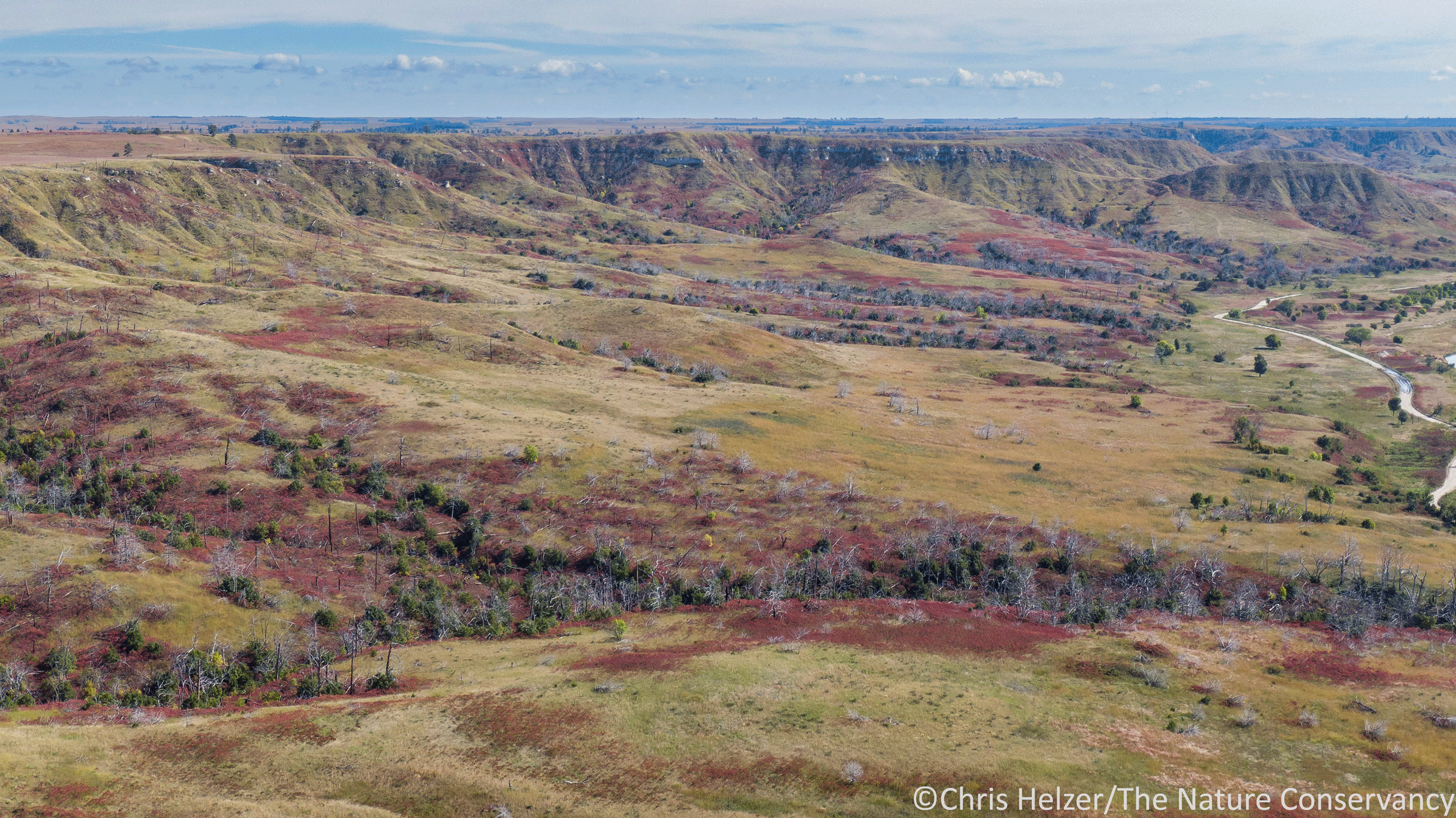
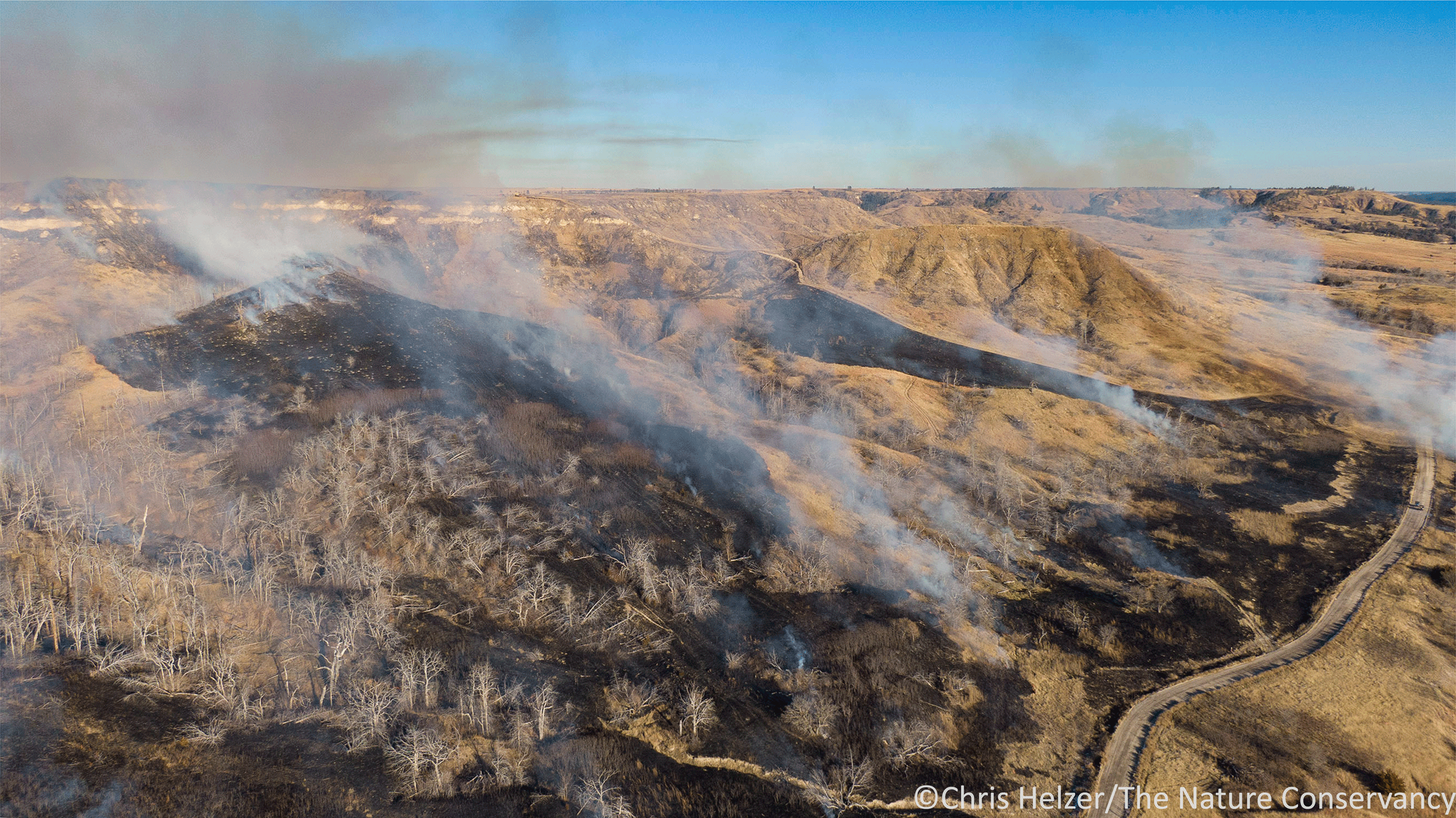
Speaking of prairie management, as I was preparing a presentation on the topic last week, I came across an aerial photo I’d taken a couple years ago at our Platte River Prairies. The image does a great job of illustrating what habitat heterogeneity can look like across one management unit.

Variation in available habitat conditions (habitat heterogeneity) can be created by many factors. Some of those factors are unrelated to our actions as land managers. Topography, soil texture, and soil moisture, for example, all have big influences on what plant species can grow in a particular place. The same conditions can also drive the height and density of plants – high/dry/south facing slopes will have much shorter/sparser vegetation than low-lying/moist valleys, for example.

In the photo shown above, that influence can be seen in at least a couple ways. First, in the foreground of the photo, there are yellow stripes created by concentrations of blooming perennial sunflowers and goldenrods. Those plants are spread throughout the site, but are most lush and abundantly flowering in soils laid down by old river channels hundreds/thousands of years ago when this part of the prairie was part of the active Platte River.

Similarly, in the top part of the photo, you can see a broad slough that looks slightly darker than the surrounding vegetation. That slough is also an old river channel and has not only different soils, but is also lower in elevation and closer to groundwater, which helps determine both the plant species growing there and the height and vigor of those plants.

The management history of this site also plays a big role in the available habitat today. The top portion of the photo is unplowed (remnant) prairie, though it had some years of chronic overgrazing that decreased its plant diversity before The Nature Conservancy acquired it. We’ve replenished some of that lost plant diversity by overseeding missing species, but the plant community is still not what it was. On the other hand, it does have a very strong native sedge community and a pretty nice set of early season wildflowers that aren’t in the portion of prairie shown at the bottom of the photo.

That area shown in the lower portion of the photo was in row crops for years before being planted (not by us) back to grassland with a few wildflower species. Since then, it has increased in plant diversity, but no botanist would mistake it for an unplowed remnant prairie. It provides excellent habitat for many animal species, but has obvious differences from the adjacent remnant site.

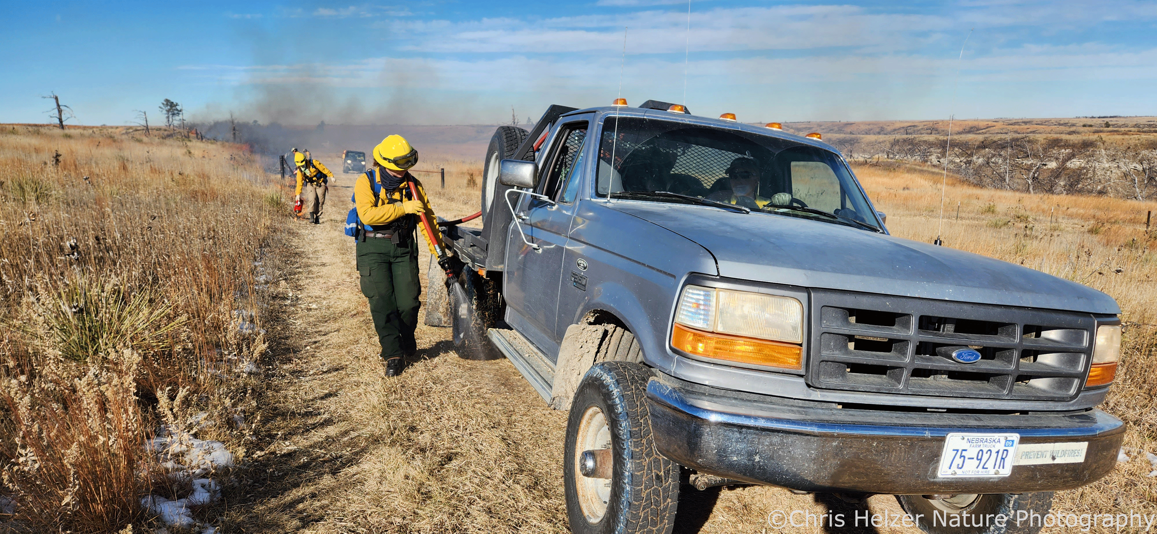
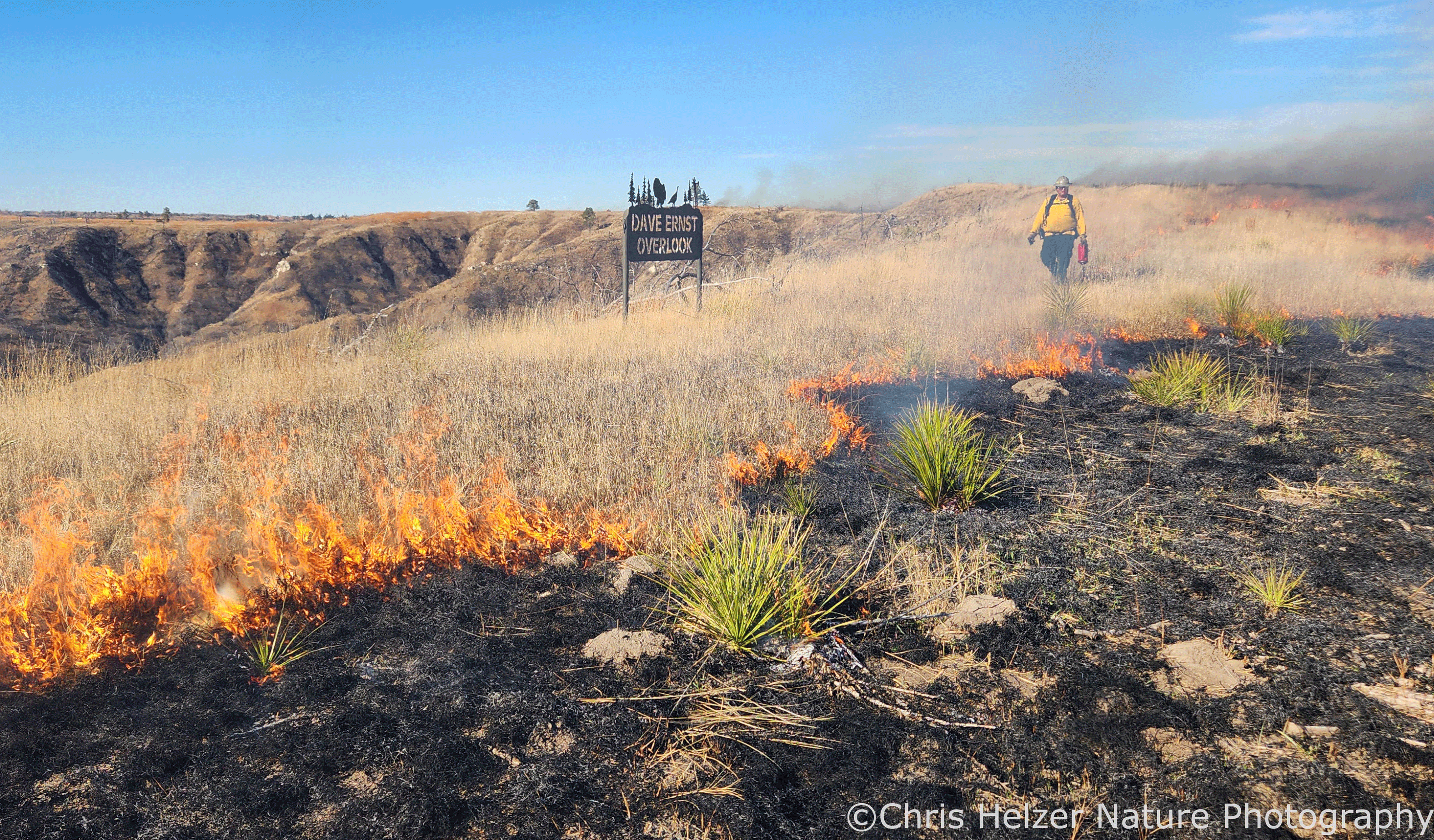
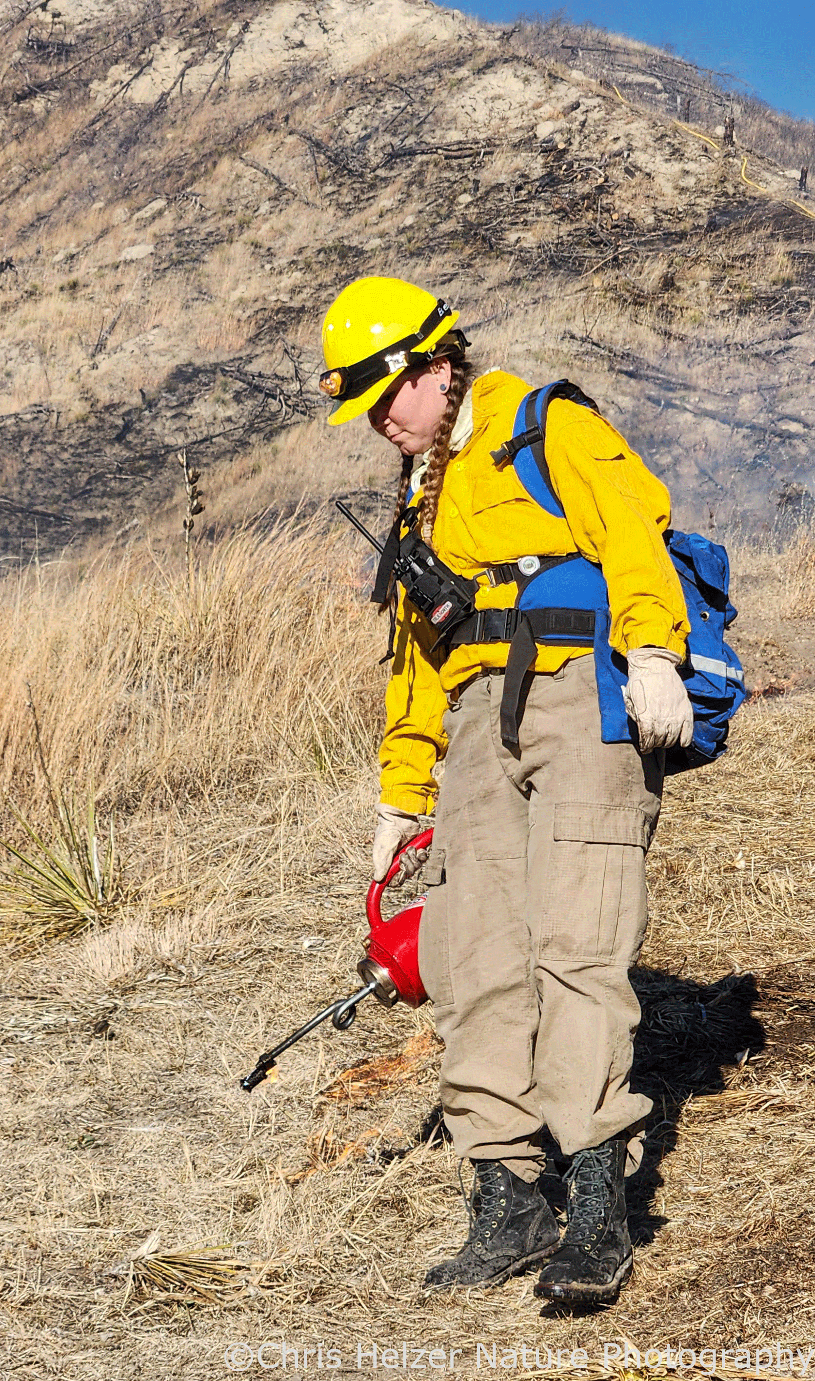
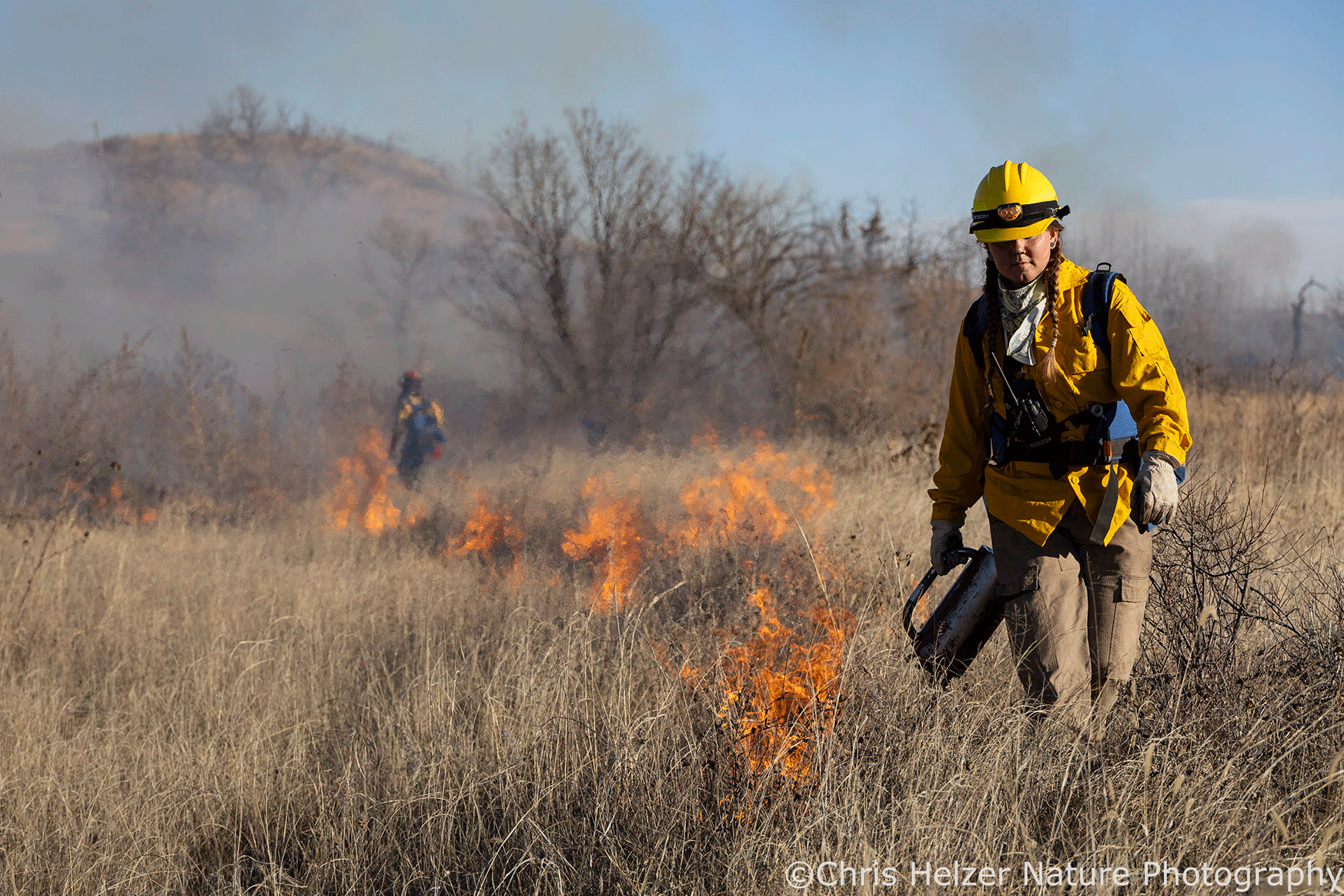
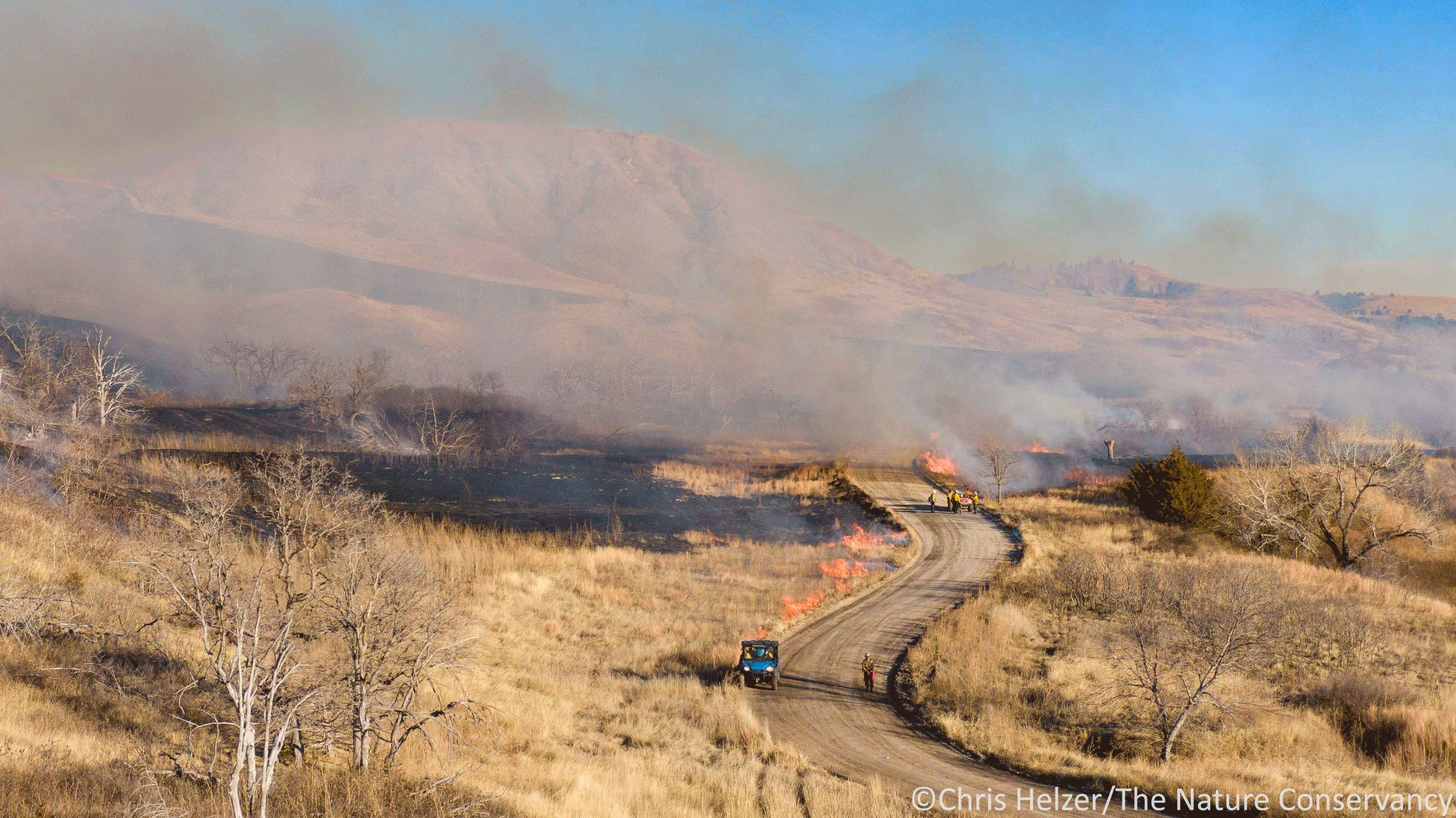
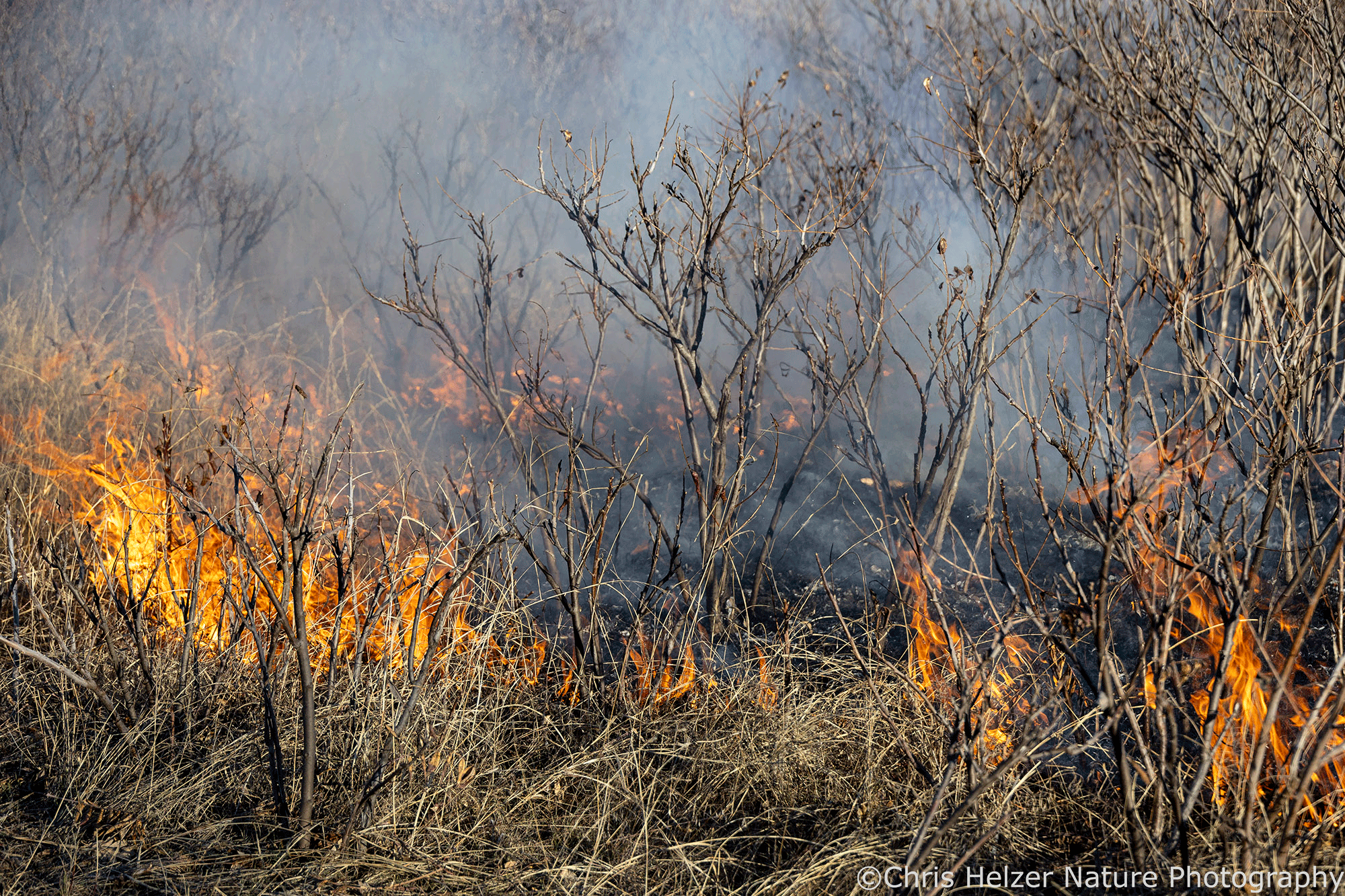
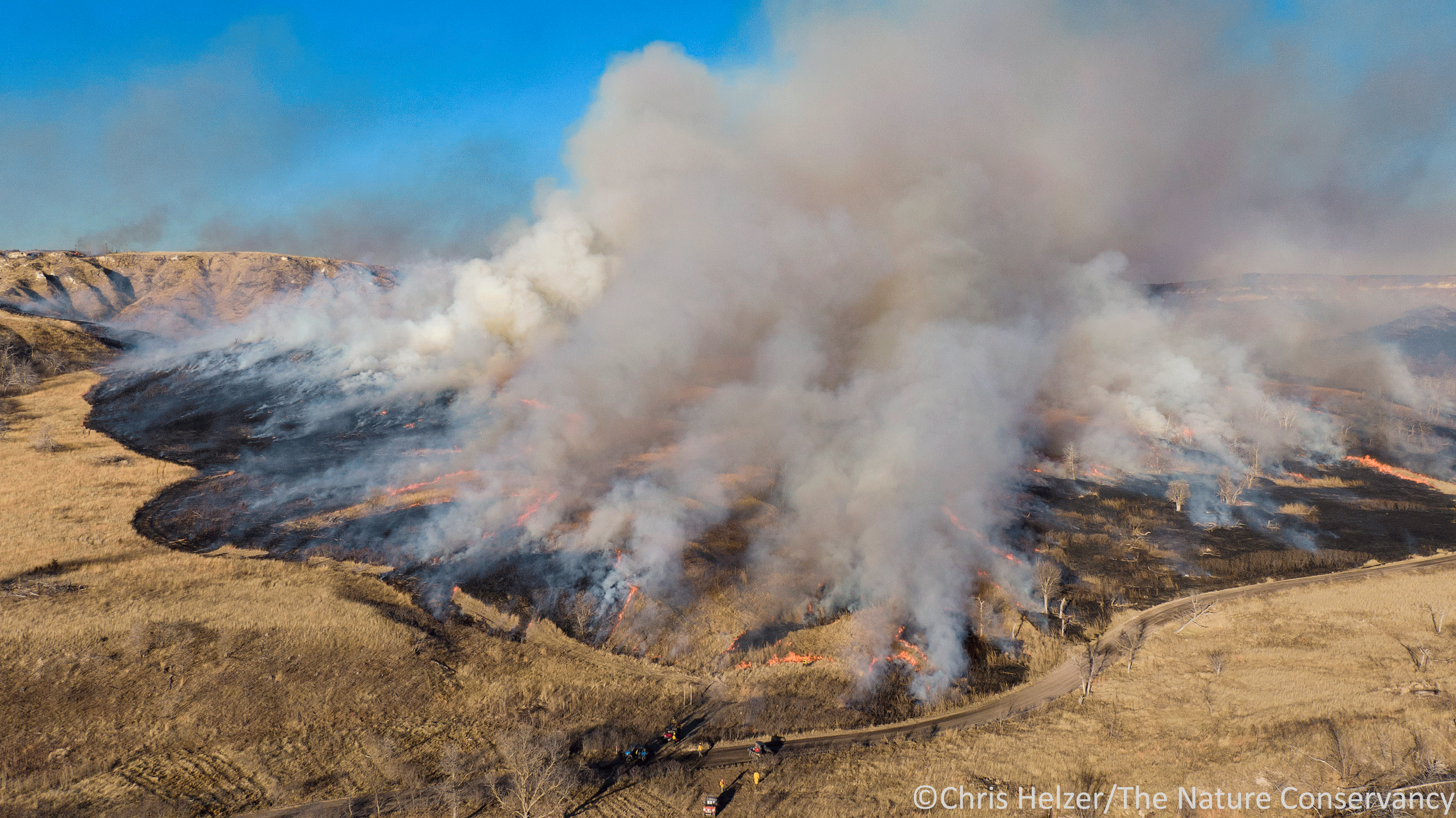
Finally, the most dramatic variation in vegetation structure at the time this photo was taken was driven by recent management actions taken by Platte River Prairies manager Cody Miller and others. The entire prairie shown in the photo had cattle on it during the year of the photo (and in prior years). However, the grazing pressure across the site was very uneven, driven by prescribed burning.

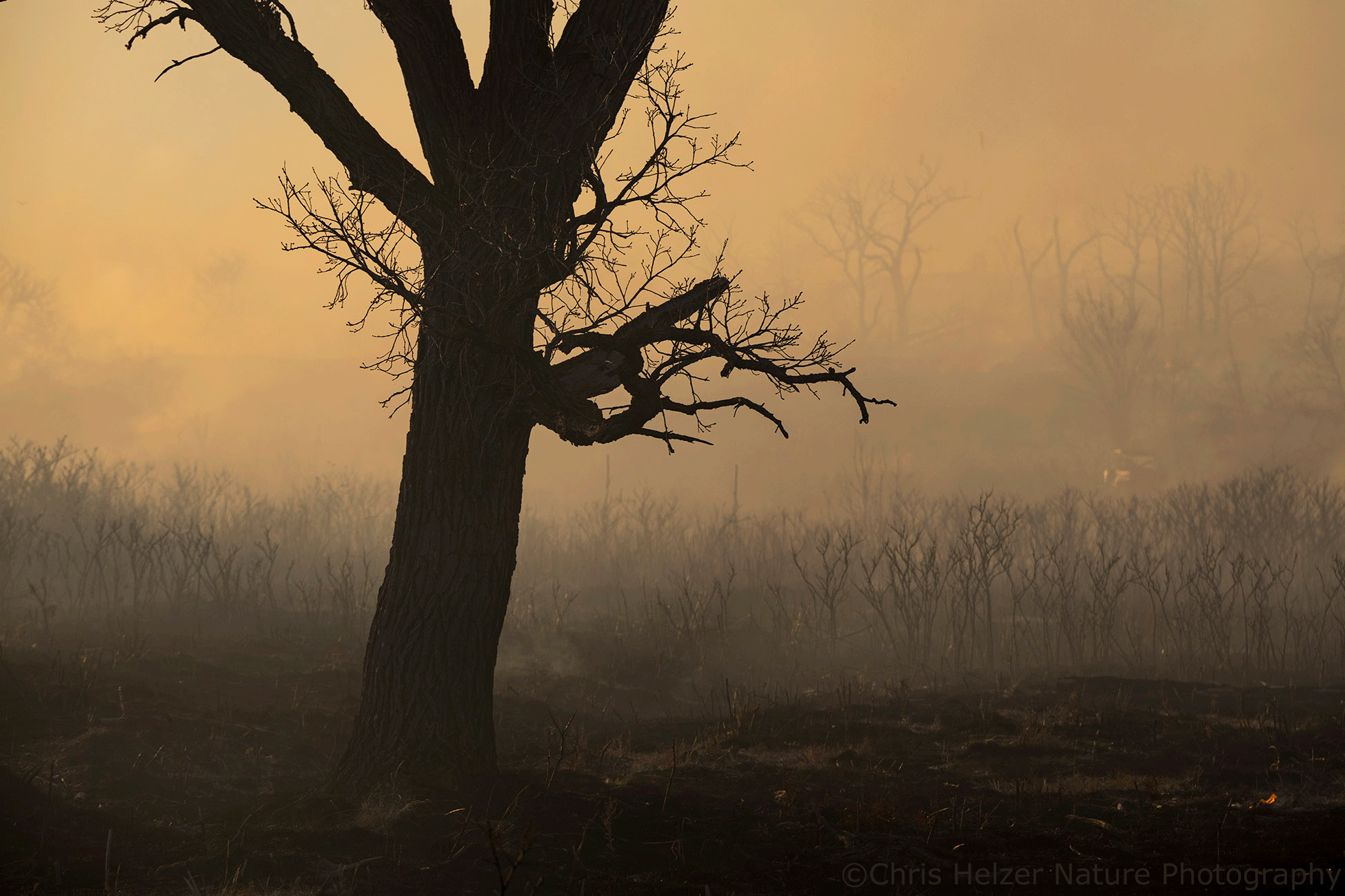
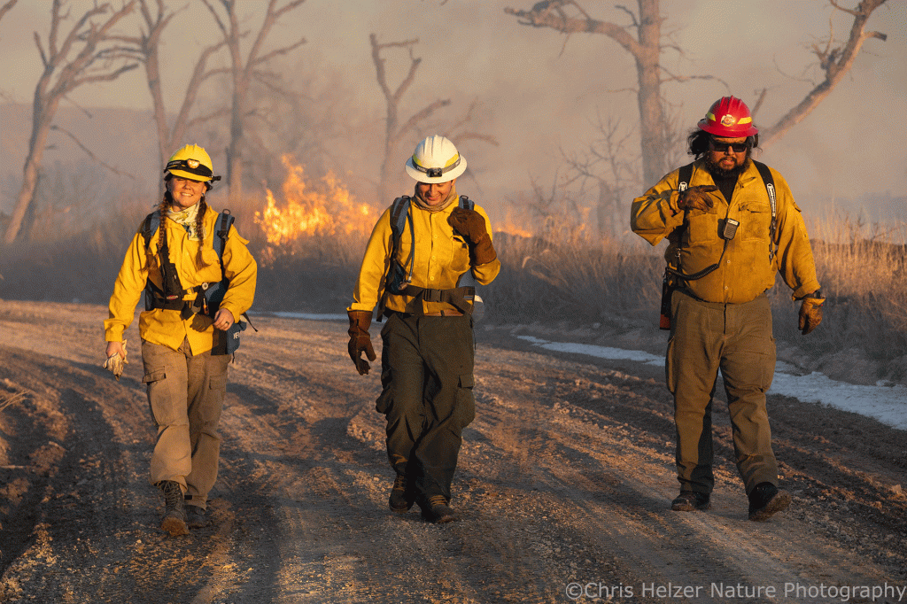
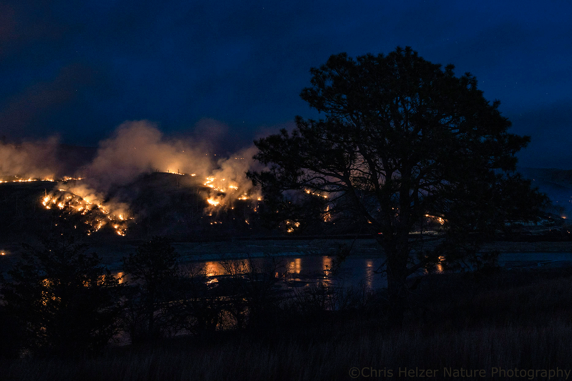
In 2023, a spring fire was conducted in the area shown in the foreground, and a late July burn took place near the top right of the photo. When the 2023 growing season started, cattle focused most of their grazing in the recent spring burn, keeping that vegetation short and allowing plants elsewhere to grow tall. After the smaller August burn took place, cattle shifted some of their grazing there, reducing grazing pressure on the spring burn – which is partly why the sunflowers are blooming so abundantly. If you’re interested, you can read more about that summer fire and see more photos of it here and here.

Meanwhile, most of the remainder of the site had lots of tall vegetation and relatively thick thatch (accumulated dry vegetation from previous years’ growth) because it hadn’t been burned recently and had recovered from previous grazing bouts.

This mid-September photo shows part of the remnant prairie, with unburned grassland on the left and the summer burn on the right. The two areas provide very different habitat conditions for plants and animals, each of which is valuable.

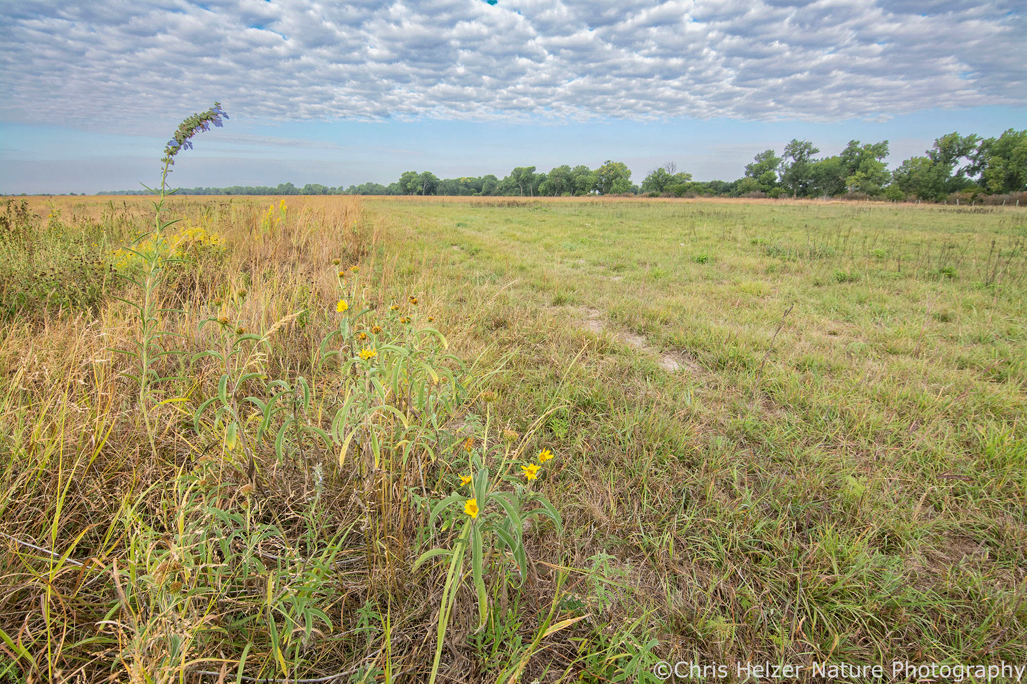
As a whole, this management unit (roughly 500 acres, with more prairie across the creek to the north – out of frame to the right) provided a wide variety of habitat conditions for the plants and animals living in it back in 2023. Last year, in 2024, we burned yet another patch, which shifted grazing pressure to a new portion of the site and allowed the 2023 burned areas to start growing tall again. New management treatments in 2025 will continue to shift things around, while maintaining the same kind of habitat variety – just in different places.

If you missed it, I talked much more about habitat heterogeneity and why it’s important in this recent post. Our primary objective for the Platte River Prairies is to sustain high ecological resilience, which relies heavily upon species diversity (animals, plants, and more). We’re working under the assumption that providing a constantly-shifting mosaic of habitat types is the best way to support that species diversity.

There’s a lot of science that backs up that shifting mosaic assumption, but we try to test it whenever we can. Plant diversity has been very stable over the last 20 years or so on the sites I’m able to monitor closely. Habitat use by wildlife, including insects, is harder to quantify, but what we’ve seen has been positive. Birds species appear in different places each year, but all the species we’d expect to see always show up. Similarly, regal fritillary butterflies and other insect species seem to be doing well, but follow their favorite habitat conditions around the site. The plains pocket mouse – a species of concern in this part of the world – maintains surprisingly consistent populations, regardless of our management actions.

We’re always looking for researchers who’d like to help us look more closely at any aspect of the system – let me know if you’re interested! In the meantime, we’ll keep experimenting and learning the best we can.

A Long-Awaited Fire

This week, about 22 people from a variety of organizations gathered to conduct a prescribed fire at The Niobrara Valley Preserve. The 900 acre burn unit was on the north side of the Niobrara River. Before a big wildfire in the summer of 2012, the area was covered with mixed-grass and tallgrass prairie, bur oak savanna, and ponderosa pine/eastern redcedar savanna/woodland.

That wildfire swept across more then 70,000 acres, including more than 30,000 acres of the Preserve. North of the river, it wiped out the vast majority of the ponderosa pine and eastern redcedar trees and top-killed many of the bur oaks, though the oaks resprouted from their bases. Where the pines and cedars had been, smooth sumac quickly filled in, spreading quickly across much of the area and forming large clones that now cover hundreds of acres (and are still spreading).

Remember to click on photos to see bigger/sharper versions. If you’re reading this in your email, you’ll have to click on the post’s title to open it online so you can click photos.

Here’s a photo of part of the area we burned this week, taken back in September of this year. You can see the red sumac clones, the green bur oaks, and the white skeletons of pine and cedar trees. The Niobrara River is just out of frame to the right.

This area has been the subject of countless hours of discussion about how we should guide it into its next ecological phase. We could just let the sumac spread unimpeded, creating a huge shrubland. Unfortunately, eastern redcedars are reinvading that area too. Letting sumac spread ahead of that invasion would suppress grass growth, and without grass we’d be unable able to use prescribed fire to control the cedars. Since we know dense stands of eastern redcedar provide poor habitat for wildlife and suppress the diversity of plants and other species, we want to avoid that.

We’d be glad to have some ponderosa pines come back, but they are notoriously slow to re-seed themselves after a ‘stand-replacing fire’, especially when there aren’t mature trees around to drop pine cones. We can plant some (and the Nebraska Forest Service has already planted a fair number for us on the steeper slopes), but any fire hot enough to kill young eastern redcedars would kill pines too, unless we plant them in steep rocky areas where there’s insufficient grass to carry fire. Of course, those are the same places where it’s difficult for trees to establish because the ground, such as it is, is dry and hard.

The consensus reached among stewardship staff was that we needed to get a fire through the area, both to remove a lot of the downed wood (making it easier to access the area) and to kill the numerous invading cedar trees. It would be nice not to kill the small pines, but controlling the cedar invasion is a bigger priority right now. One fire won’t suppress the sumac much, but staff might be able to mow or otherwise treat those sumac stems in the year following the fire to amplify the suppression effect.

Deciding to burn the area was relatively easy compared to the task of figuring out the logistics and prepping the site. Firebreak routes had to be found on the steep slopes between the flat above the ridge and the river below. Huge numbers of dead pine and cedar skeletons – some standing, some on the ground – had to be cleared away from those firebreaks to give us a chance to control the fire along those boundaries. Chad Bladow, fire manager and burn boss for the fire, had to figure out how to get crews, water, and vehicles into places where the terrain made that difficult.

Eventually, though, everything came together and we assembled this week to make it happen. My role was pretty small. I showed up and did as I was told. The crew at the Niobrara Valley Preserve had already put in tremendous effort getting the site ready, coordinating the crew and their needs, working with local fire departments to get permission and support, and doing all the little things that go into making a big event happen.

We started the burn on the big flat above the ridge, where we could use trucks to lay down a wet line ahead of igniters.
Here, we’re widening the backing fire (on the downwind edge of the unit) to make it wide enough to stop any fire coming at the line later in the day.

We had help from some nearby ranchers, Nebraska Game and Parks Commission, Northern Prairies Land Trust, Central Platte Natural Resources District, the Bureau of Indian Affairs Pine Ridge Agency, and others. There was a lot of expertise and experience among crew members, as well as some people who were still relatively new to prescribed fire. Even for many of us with quite a bit of experience, this would be a more complex burn than we’re used to. Fortunately, Chad Bladow and several others on the crew were very capable leaders, and the fire was pulled off smoothly and effectively.

We started by burning a big flat area above the ridge, but the line I was on quickly started working down some very steep slopes, igniting as we went. Getting water to those slopes so we could control the fire took a lot of planning and equipment. A big tank was set up above the ridge and a very long hose was connected to it and stretched downslope. A pump charged up the hose with water so the crew could spray the edges of the firebreak and keep the fire contained.

The east boundary had some very steep areas, where we couldn’t use any vehicles. The crew set up a ‘hose lay’ – a long stretch of fire hose stretching down the slope (right/dark yellow) with multiple smaller hoses (left/pale yellow) that fed off the main. A gas-powered pump pulled water from a big tank and into the hoses, which crews used to control the fire as we ignited down the slope.
Former Hubbard Fellow (and current Nebraska Game and Parks Commission employee) Chelsea Forehead was part of the crew. Here she’s igniting down one of the steep slopes.

Once our crew made it off the steeper slopes and down to the relatively flat areas at the bottom, everything moved much more quickly. We ignited all the way down to the river, which then acted as the south boundary for the fire. Meanwhile, the other half of the crew worked west along the top and then came down the slopes on the west side until they also hooked into the river. From there, it was a matter of lighting off everything in the interior before it got dark and temperatures dropped and relative humidity rose.

Here’s an aerial view (via drone) at about 2pm, after the perimeter was blacked-out on the east half of the unit and much of the interior had been ignited to allow fire to spread.

That interior ignition was partially accomplished by people with drop torches – directed by others who stood on vantage points and guided them down the slopes via radio directions. Additional ignition, especially in really steep areas, was done with a specialized flare gun. Even with all that effort, the difficult terrain and the short period of daylight at this time of year meant that the sun went down before everything could be ignited. (A subset of the crew went out the following day and lit off the remainder.)

Here’s Chelsea again, lighting a flat area near the river.
This drone photo shows the crew moving west (into the wind) and igniting the lower parts of the slopes and the area between the river (center) and the road (out of frame to the right).
The fire should top-kill these sumac stems, but they’ll grow back quickly unless we follow up with mowing or some other treatment next season.
Here’s a drone shot showing the east half of the unit shortly after a line of fire (to the left) was ignited and starting spreading to the northeast, pushed by the wind.

As the sun went down, many of us had little to do besides watch the fire spread across the interior of the site and patrol the outer edges. With permission, I grabbed my camera and took advantage of the late day light and smoke to get some ‘mood shots’.

A smoky scene with a tree in the foreground and sumac and other shrubs behind it.
I thought these three looked like they were walking away from the final scene of an action movie.
As sunset approached, the fire started to spread more slowly and some of the crew gathered along the road.
Crew silhouettes in the smoke.
Waiting for everything to burn.
More sunset smoke.

I also did some (relatively) close-up photography of small patches of fire. I love the way flames look when captured in still photos.

Close-up fire portrait.
Another fire portrait.
and another.
Bur oak leaves burning.

As darkness settled in, the remnants of the fire kept burning. We knew the bigger logs and standing dead trees would burn through the night, but we had wide bands of blackened ground around the perimeter to contain the fire. The overnight forecast was also favorable, with high humidity and temperatures well below freezing, which would keep the fire from spreading. After assuring the perimeter was secure, the crew retreated to the Preserve headquarters just across the river to watch from there while putting away equipment, grabbing some food, and reviewing the day’s events.

As darkness set in, I got this drone photo of the river and part of the fire. For those of you who know the area, the Preserve Headquarters are just to the right of the scene and the Norden Chute is just out of the bottom of the frame. (Click to see a better version of the image.)
I took this photo from across the river well after dark. You can just see a few stars above the big tree.

Ecologically speaking, the 900 acres we burned this week is a very small portion of the 56,000 acre Niobrara Valley Preserve, and neighboring properties contain similar habitat that stretches in all directions for miles. We’re hoping to learn what we can from this fire and any follow-up treatments so we can apply that to other areas of the Preserve. More importantly, we hope our experiences will be helpful to our neighbors, who are dealing with very similar issues in terms of sumac expansion, eastern redcedar invasion, and slow recruitment of ponderosa pine.

If you’re interested, you can look back at some of my old blog posts to see what this site looked like immediately after the wildfire and during the next couple of years. The grasslands on Conservancy land and neighboring properties bounced back from the summer wildfire quickly, as grasslands do. The woodland and savanna areas, though, were a bigger question mark for us because there is less collective wisdom about how those kind of sites respond to a big fire like that.

Since summer wildfires in sites invaded by eastern redcedar are becoming more common, we all need to work together to figure out what kind of land stewardship is most helpful after an area burns. Hopefully, this week’s fire and its impacts will be educational for us and others. In the meantime, it sure felt good to be able to pull off a burn we’ve been talking about for a very long time.

On behalf of all our staff at the Niobrara Valley Preserve – thank you to everyone who helped with the fire this week!