Hill Country

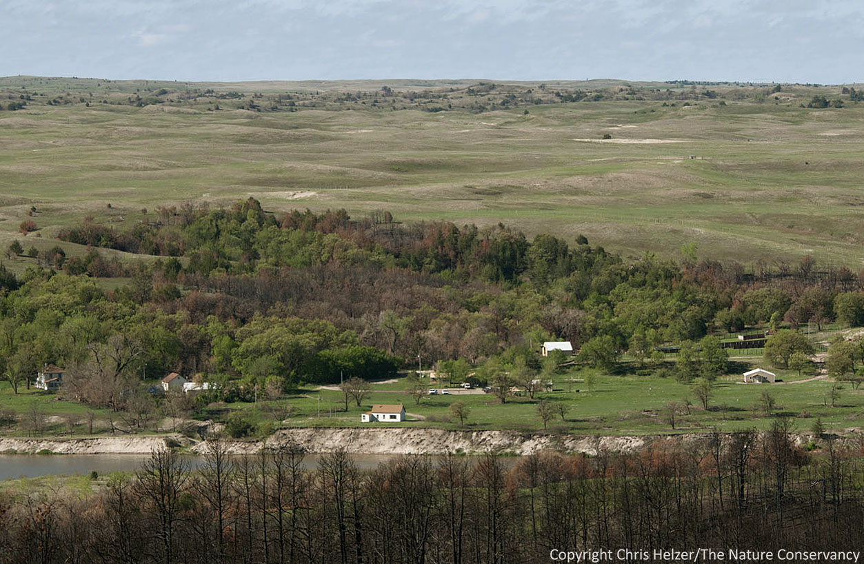
I’m in Austin, Texas this week, attending a conference of science and stewardship staff of The Nature Conservancy from around the country.  Ahead of the conference, I attended a field trip through portions of the Texas Hill Country near Austin.  It was an excellent and thought-provoking tour.  It’s always great to see other sites and talk to their managers about what they’re doing and why.

We spent Tuesday morning at the Conservancy’s Barton Creek Preserve, about 4,000 acres of rocky hills near the west side of Austin.  The site manager, Brandon Crawford, talked us through the ecology and management of the preserve.  The most striking feature of the site to me was the lack of soil.  Most (all?) of the Hill Country has a legacy of serious overgrazing – first by cattle, and then by goats after the land would no longer support cattle.  Many years of that mistreatment resulted in a loss topsoil from the hills, leaving a shallow-soiled landscape with even less soil and vegetation than before.

The rock of the Barton Creek Preserve was create

Many years of chronic overgrazing and subsequent erosion of topsoil led to the kind of sparsely vegetated terrain on the hills of the Barton Creek Preserve.

The tops of the hills at the  Barton Creek Preserve are dominated by shrubby species such as mountain laurel, along with scattered live oak trees and Ashe junipers (similar to eastern red cedars).  Growing around and between those woody plants was little bluestem, along with gramas, dropseeds, and a variety of wildflower species.  It was striking to realize that the Barton Creek Preserve receives about the same annual rainfall as our Platte River Prairies back in Nebraska – our sites look incredibly lush compared to the almost desert-like appearance of the Hill Country grasslands.

f;pwer

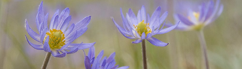
It was a pleasant shock for a Nebraska ecologist to walk around Texas prairies in 80 degree February weather and see blooming flowers.  The temperatures are above normal in Nebraska this week, but it’s going to be a while before we start seeing flowers in our prairies.

The shallow soil and sparse brushy habitat at the Barton Creek Preserve supports the black-capped vireo, a federally-listed endangered species that nests in low shrubs.  Brandon works to maintain that shrubby habitat structure by using prescribed fire and mechanical cutting to keep the Ashe juniper from becoming too dominant in uplands.  It’s not an easy job – especially given that prescribed fire is tricky when you’re surrounded on all sides by housing developments – but it is very different from the kind of ecological management I’m more familiar with.  Brandon focuses mainly on creating habitat structure for vireos, but he’s also helping out a number of other animal and plant species that continue to scrape out a living in the hills.

This area was recently cleared of juniper to create the kind of habitat structure needed by black-capped vireos.

This area was recently cleared of juniper to create the kind of habitat structure needed by black-capped vireos.

snail

I was really surprised to see numerous (relatively fresh but empty) snail shells on the dry rocky hills of the Barton Creek Preserve.  Apparently, Brandon’s habitat work supports more than just birds.

Down the slope from the hill tops, much of the Barton Creek Preserve is covered by a kind of “old growth” woodland dominated by live oaks and Ashe junipers.  That woodland is home to another endangered bird species – the golden-cheeked warbler.  Brandon told us the warbler needs about a fifty-fifty mix of oak and juniper in its woodland habitat, with about 95% canopy cover.  So while junipers can cause problems for the vireos on the hilltops, they are a critical piece of the habitat for the warblers on lower portions of the preserve.  At this point, Brandon isn’t using much prescribed fire in those woodland areas, though he’s considering it, and is watching the results of other similar sites where managers are experimenting with low intensity fires that clean out the surface layer beneath oaks and junipers without killing the bigger trees.

overlook

A rocky overlook above Barton Creek.  The woodland in the top right corner of the photo is where the golden-cheeked warblers make their homes.

At our Platte River Prairies and Niobrara Valley Preserve in Nebraska, our management is aimed at creating a shifting mosaic of habitat types and maintaining plant diversity.  By moving fire and grazing intensity around our sites each year, we always provide a variety of habitat types, and we measure success by the diversity of plant and animal species we support.  By contrast, Brandon’s role at Barton Creek is to manage the structure of two distinct and static habitats – hill tops and lower slopes – and his success is primarily measured by whether or not he’s supporting two endangered bird species.  He’s providing habitat for many other organisms too, of course, but in that fragmented ecosystem surrounded by housing developments, just keeping those birds alive is a pretty good accomplishment.

Good land management starts with clear objectives.  Without them, it’s not possible to measure success.  I’ve met a surprising number of land owners and managers who can’t clearly describe what they’re aiming for on their property.  I’m not sure how they know what to work on each day.  Although Barton Creek Preserve has very different objectives from the ones we’ve set for our prairies in Nebraska, the objectives fit the site and it was interesting to learn about how Brandon is working to meet them.  The people in and around Austin (not to mention the warblers and vireos!) are lucky to have Barton Creek Preserve in such good hands.

Ecologists and land managers from around The Nature Conservancy

Ecologists and land managers from around The Nature Conservancy traded ideas as Brandon (black cowboy hat) showed us his work at Barton Creek Preserve.

Wildfire Recovery at The Niobrara Valley Preserve – Spring Green Up

Spring is finally changing the color of The Nature Conservancy’s Niobrara Valley Preserve in north central Nebraska.  After last summer’s wildfire and drought, much of the Preserve was barren and brown all winter.   Now, the area has had several small rainfalls during the last couple months, followed by a hard 3 inch rain on May 19.  That moisture has combined with the (finally) warming temperatures, and the Preserve is starting to look green again.  I traveled up to the Niobrara last week and took some photos to share with those of you who are interested in the site’s recovery.

The headquarters of the Niobrara Valley Preserve with sandhills prairie behind.  If it wasn't for the ponderosa pine skeletons in the foreground, it would be difficult to know that a major wildfire had occurred last summer.

The headquarters of the Niobrara Valley Preserve with sandhills prairie behind. If it wasn’t for the ponderosa pine skeletons in the foreground, it would be difficult to know that a major wildfire had occurred last summer.

.

The sandhills prairie - as expected - is greening up very nicely.  Many wildflowers are blooming, including this hoary vetchling (aka peavine or Lathyrus polymorphus).

The prairie in the sandhills – as expected – is greening up very nicely. Many wildflowers are blooming, including this hoary vetchling (aka peavine or Lathyrus polymorphus).

.

The recent big rain washed much of the remaining ash off the slopes north of the river.  At the bottom of this photo, you can see the accumulation of the black goo that washed down.  It was thick enough in some places that the road was closed when I was there last week.

The recent big rain washed much of the remaining ash off the slopes north of the river. At the bottom of this photo, you can see the accumulation of the black goo that washed down. It was thick enough in some places that the road was closed while I was there last week.

One of the things we’ve been watching for and wondering about is soil erosion on the barren slopes – especially underneath formerly dense stands of pines and/or cedar trees.  When I arrived at the preserve, several days after the big rain, the road along the river was closed because of an accumulation of black goo that had washed off the slopes above it.  It was hard to tell, but it appeared to be mostly ash, mixed with some organic matter.  Seeing that on the road, I was worried about what I’d find when I climbed the slopes.

A closer look at the black goo, seen here in a low pocket further up slope.

A closer look at the black goo, seen here in a low pocket further up slope.

However, as I climbed the ridge north of the river, I was pleasantly surprised.  There was some soil erosion, but much less than I’d expected.  Green plants were popping up across the ridges, forming thicker carpets in areas where tree density had been lower.

Green plants dot the upper slopes, especially in places where pines and cedars grew less densely.

Green plants dot the upper slopes, especially in places where pines and cedars grew less densely.

.

Annuals are abundant, including this

Annuals were abundant, including this Chenopodium species.

Many of the green plants were “weedy” annuals, taking advantage of the sudden lack of competition for light and moisture.  However, numerous perennials were growing too – including leadplant, puccoons, skeleton weed, peavine, several species of grasses and sedges, and many more.

Perennial plants

Perennial plants and shrubs were mixed in with the annuals.  A the lower left of this photo is skunkbush sumac.  Perennial grasses can be seen in the background.

.

As bad as it got.

This was about as bad as it got for soil erosion on the steep slopes, and I had to look for a while to find many examples like this.  Rather than large scale slides or obvious losses of top soil, multiple rivulets formed in many places.  In between the rivulets, however, perennial and annual plants were growing and helping to stabilize the remaining soil.  The lightest colored steep bluffs are mostly devoid of soil, but were like that prior to the fire rather than as a response to it.

.

Erosion pins

We have erosion pins in a number of places to help measure soil loss.  The pins were installed in December and are being measured right now to see how much soil we’ve lost.  The arrays of pins are located on a range of site types, varying in slope, aspect, and vegetation type.  Additional erosion pin arrays will be installed in the coming weeks.

.

Regrowth

Most oak trees were resprouting from their bases.  Oaks that had been burned less intensely hadn’t started their spring growth at all this year, so it’s still unknown whether some of those will be able to continue growing from the ends of their branches.  Unburned oaks were leafing out, so we should see something from the “lightly” burned ones in the next couple of weeks.

.

For better or worse, deer tracks were common.

For better or worse, deer tracks were common.  Some of the oak resprouts were clearly being nipped back by deer and/or other wildlife, as were sedges and other green plants.

I don’t know what the future will hold for the Preserve, but I’m still optimistic.  The sandhills and other prairies will clearly be fine.  The woodlands will be slow to recover, but there are positive signs already.  It’s hard to know how much erosion will occur or important that is.  So far, even the most vulnerable slopes seem more resistant to erosion than I’d guessed they would be.  Regardless, the Preserve is recovering, and will continue to be a beautiful place and important biological resource.  And it’ll be very interesting to watch!

Other than steep slopes conifers were dense, the green up is well underway.

Other than steep slopes where conifers were dense, the green up is well underway.