Look, more timelapse photography…

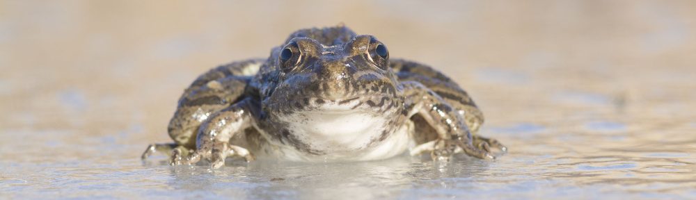
A photo taken by a timelapse camera mounted high on a windmill looking over bison-grazed prairie at The Nature Conservancy’s Niobrara Valley Preserve in Nebraska.
I’m nearing the end of the process of going through all the images from the last three years of timelapse work at the Niobrara Valley Preserve. My eyes are very tired, but it’s been a lot of fun. The overwhelming story told by the images is one of hope and resilience following the big wildfire of 2013. Prairies are well built to take drought, wildfire, and grazing in stride – they have been doing so for thousands of years. Even grasslands in the Nebraska Sandhills (12 million acres of vegetated sand dunes) have shown themselves to be tough and adaptable.
Last week, I showed how timelapse was helping us track erosion at the Preserve, and also posted a number of aesthetically pleasing images from a timelapse camera. Today, I’m presenting two very short slideshows showing more visually striking images from two timelapse cameras set up to watch the Sandhills prairie. The first is from a fenceline between bison-grazed prairie on the left and cattle-grazed prairie on the right. Don’t read too much into any differences you might see between those two grazing treatments – the grazing systems on each side are very different from each other and are testing different ideas. Grazing intensity has been higher on the cattle side of the fence recently, but that changes annually, and the bison side has areas of high intensity too (depending upon where we’ve burned most recently).
If you are reading this via email, you may not see the slideshows. If so, click on the title of the blog post at the top of the email to view the post through a web browser. The same, apparently, can be an issue with other videos embedded in posts, so if you didn’t see the videos in my last blog post on timelapse photography, try looking at them through a web browser and that should fix the problem.
This slideshow requires JavaScript.
The second set of images was taken from the south side of the same bison pasture (about 12,000 acres in size) as the one shown above. The camera was mounted on a tall windmill to give a broad view of the prairie, starting with a photo from April 2013, the beginning of the first field season following the wildfire. Even though bison don’t tend to hang around windmills and other water sources as much as cattle do, the grassland closest to the windmill still gets heavier use than areas further away. This creates a plant community with higher numbers of opportunistic plants (aka pioneer species, weedy species, short-lived species, etc.) and short/patchy habitat structure. Further from the windmill, however, (as seen in the first slideshow above) much of the grassland has grown tall and lush following the fire. Both the tall/lush and short/patchy habitats are valuable.
This slideshow requires JavaScript.
Timelapse photography has helped us watch the Niobrara Valley Preserve change over time following the wildfire, but it has also highlighted the incredible hour to hour changes in the way prairies can look. Lighting conditions, clouds, snow, vegetation height, flowing plants, and a host of other variables make prairies incredibly dynamic, and fascinating to watch. I’ve really appreciated the opportunity to look through all the timelapse images from the last three years, and I hope you enjoy looking at some of the highlights.