I got my hands on another batch of timelapse imagery for our Niobrara Valley Preserve last week. I now have images from all nine of the Preserve’s cameras for the 2013 growing season (late April through the middle of October). The photos from those cameras document the first year of recovery from the drought and major wildfire back in the summer of 2012. As I work through the many thousands of images, I’ll be sharing some of the interesting stories I see.
I’ll start with a series of images from a camera set along a new fenceline. As the staff at the Preserve set out to rebuild fences after the wildfire, they took advantage of the opportunity to shift the location of some fence lines. In this case, they moved the south boundary fence of the east bison pasture and enlarged that pasture to more than 10,000 acres. The fence was constructed through what had been a traditional cattle pasture (unplowed sandhills prairie that had been conservatively grazed by cattle for many years). We chose to place a camera along that new fence for two reasons. First, it was a good place to watch the recovery of the prairie plant community following the fire. Second, it provided a good chance to look for differences between bison-grazed and cattle-grazed prairie.
Here is a slideshow of images from the 2013 season from May through mid-October. If you hover your mouse over the images, you can click on the arrows and fast forward (or backward) through the photos to look at changes over time. The left side of the fence is now bison pasture, while the right side is still cattle pasture. Below the slideshow, I’ve written about some of what I see as I look through the photos.
The first thing that’s obvious in the images is the rapid recovery of the prairie’s plant community from an intense drought and wildfire. In the first image (May 2) it looks like there is nothing but bare ground. Even the ash from the fire was washed/blown away, leaving almost nothing above ground. However, as spring arrived, both annual and perennial plants seemed to jump out of the ground and fill the landscape with green vibrant vegetation. It’s difficult to identify many of the plants, given the scale and resolution of the images, but there are two major flushes of blooms – the very pale pink flowers of wild roses (Rosa arkansana) in June and the yellow plains sunflower (Helianthus petiolaris) in August. You might remember reading about the abundance of sunflowers across much of the sandhills from an earlier post.
One of the reasons I chose this particular location for the camera was to watch the yucca (aka soapweed or Yucca glauca) plants over time. There is very little yucca in our bison pastures at the Niobrara Valley Preserve, but it is fairly common in cattle pastures. That has less to do with bison grazing vs. cattle grazing than with the fact that the bison are in the pastures through the winter and the cattle are pulled out in the fall. Both bison and cattle will graze on yucca during the winter because while the leaves are tough and spiny, they are green when almost nothing else is. I think we’ll get to watch through time as the yucca on the left side of the fence gradually disappears through years of winter grazing by bison while the yucca on the right grows relatively unhindered. We’ll see! To see the yucca, it’s best to start on the last image of the slideshow (October 21) and look for the spiny green plants surrounded by brown vegetation. Then you can watch those plants grow as you click from May through October. Since I haven’t seen the images from this past winter yet, I don’t know if bison have been grazing the yucca, but I sure hope so (for the sake of the story…).
One difference that can already be seen between the bison side of the fence (left) and the cattle side is the formation of a trail along the cattle side of the fence. I will provide more information on that in a post that will come out very soon, so I won’t talk much about it here except to say that while the formation of numerous trails are definitely a real difference between bison and cattle pastures, they are not necessarily a bad thing. More on that topic, with a VERY interesting couple of timelapse photos, coming soon.
One last observation is that either the camera or fence moved quite a bit through the season, and since the fence clearly didn’t move, it had to be the camera. I’m not sure how to explain that. I don’t think it was being bumped when the memory cards were swapped out every month or two because the movements occurred in between those events as well. I imagine the most likely scenario is simply that the massive wooden post we stuck in the ground (with concrete) shifted in the sandy soil. We’ll see if that continues over time or if it settles into a location. It’s not a problem, just something interesting.
Finally, one of the great things about timelapse imagery is the opportunity to capture beautiful images without having to be there to click the shutter on the camera. Here are three photos from this camera that I thought were particularly pleasing.

Sunrise on August 19, 2013.
.
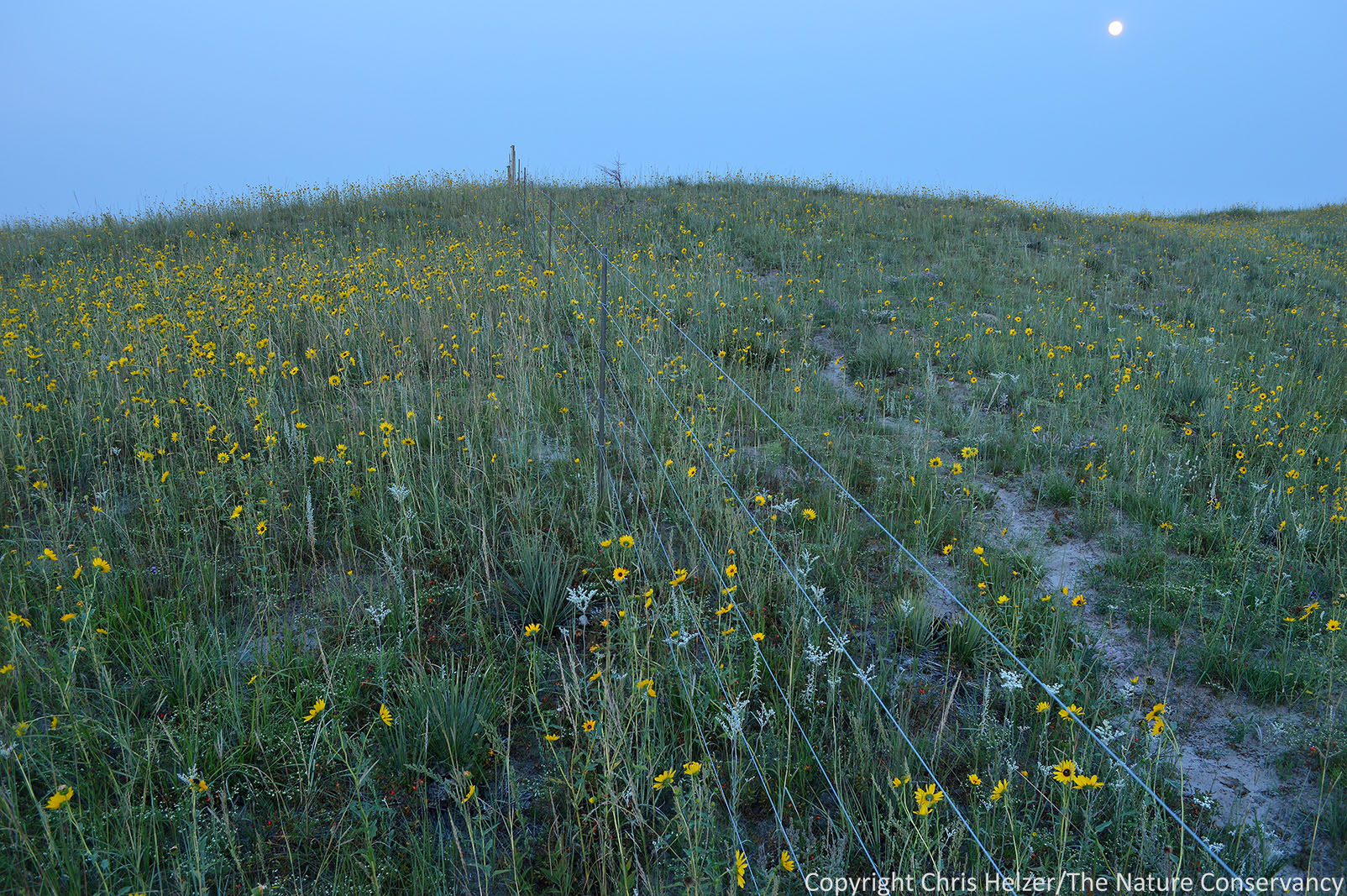
Moonlit prairie on the same day as the above photo – August 19, 2013
.
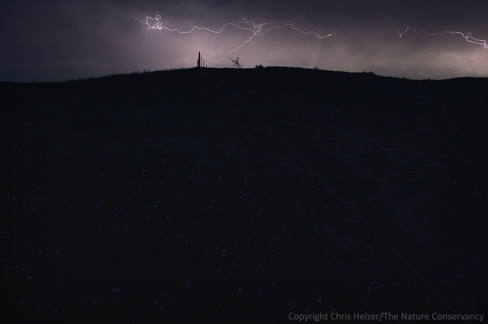
Lightning during the night on June 21, 2013. Wild rose flowers can be barely seen in the glow of the lightning.
Many thanks to Mike Forsberg, Jeff Dale, David Weber, and everyone else at Moonshell Media that has been working on this timelapse photography project with us. Special thanks also to the Nebraska Environmental Trust for funding the installation of the cameras as a way to help us better understand the effects of wildfire on Nebraska’s ecosystems.