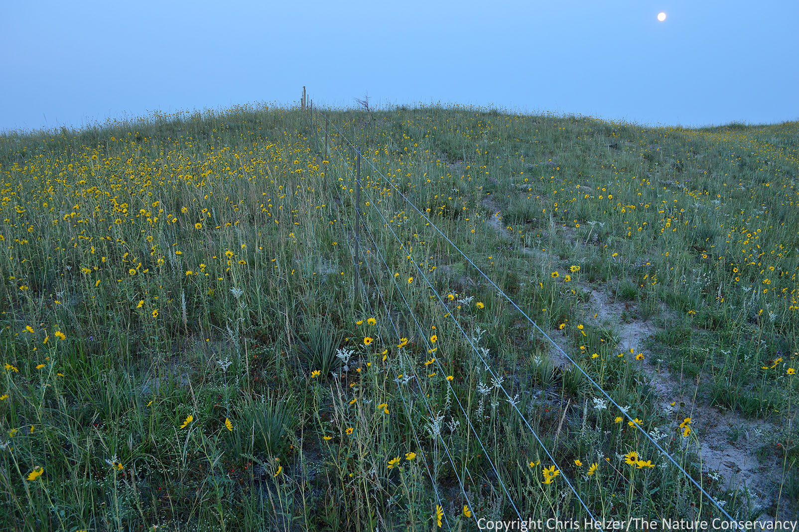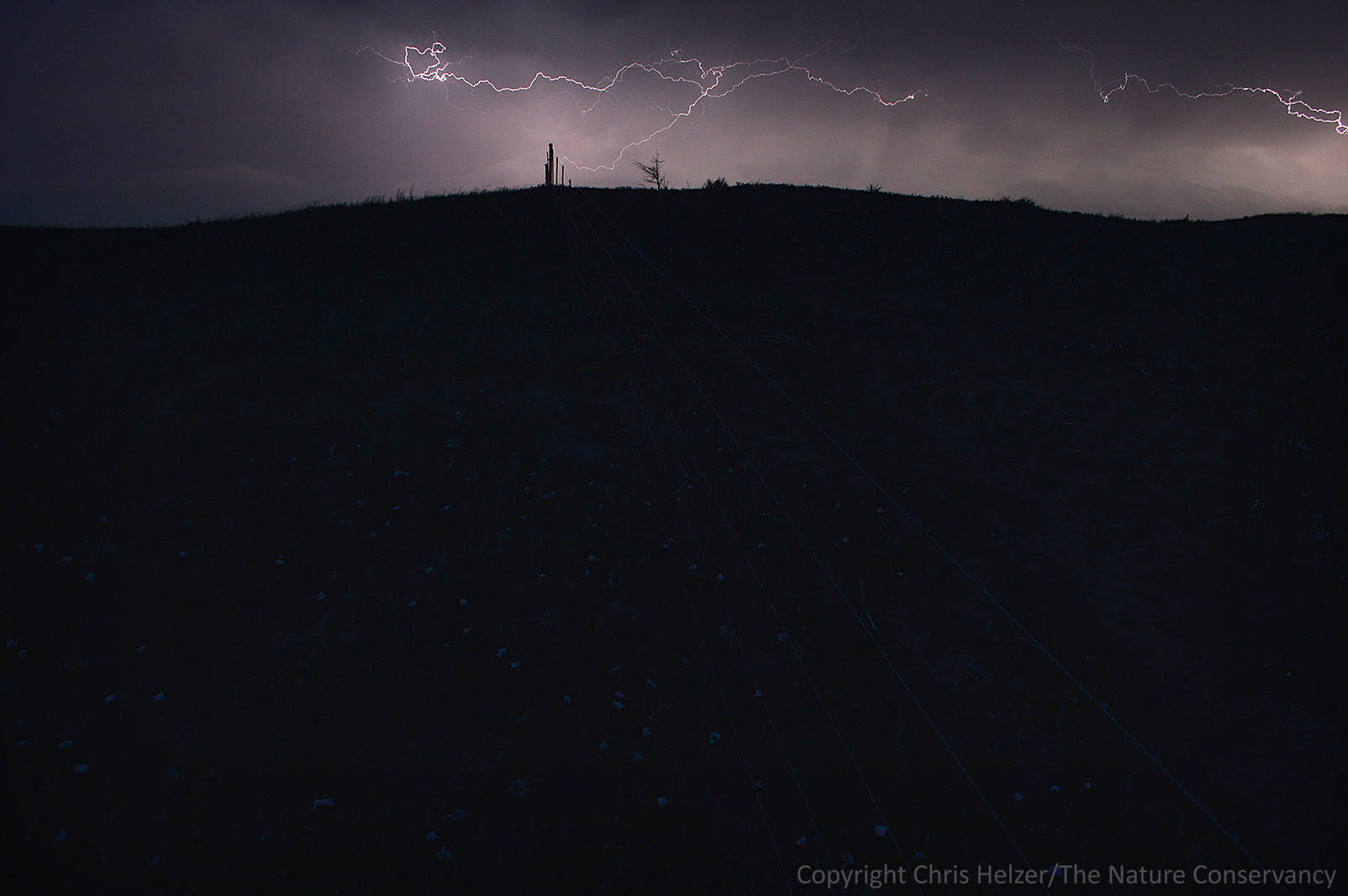
Having just downloaded nearly two months of images from the timelapse cameras at our Derr Wetland Restoration Project (I showed photos and video from this site last week as well), I went through the images to see what stories the photos might tell. Long term, of course, those images will help show changes in water levels, habitat conditions, and many other aspects of the site, but even in the short term, the timelapse images tend to have interesting stories to tell.
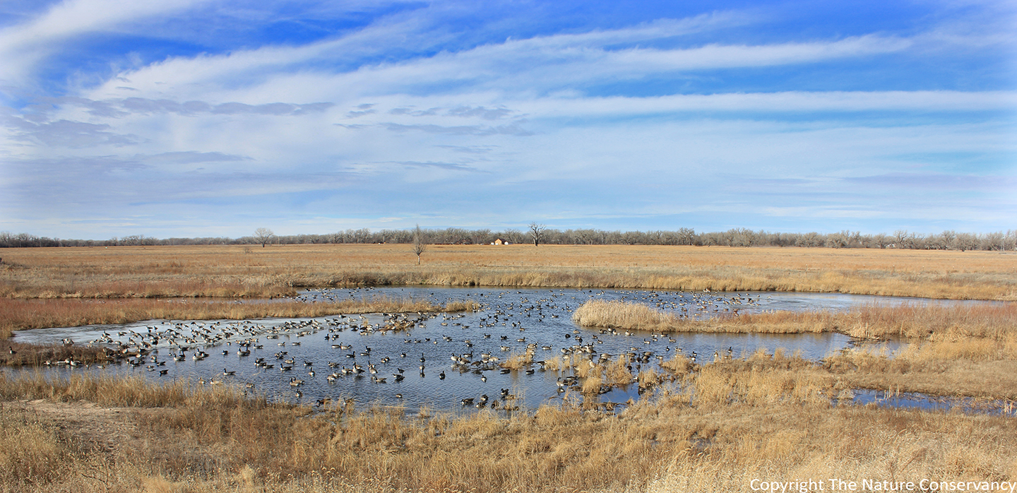
Canada geese on the Derr Wetland Restoration. January 24, 2015.
This batch of photos showed the wetland hosting quite a few Canada geese. That’s not a new occurrence – I’ve shown that in prior posts from this timelapse project. However, it’s good to see them back again this winter, especially because much of the wetland has become more fully vegetated during the last couple of years, and I’m glad they weren’t just coming to hang out on bare sand. Comparing this year’s photos to the photos in that prior post also shows that the water level in the wetland is considerably higher this year. Some of that is because of this winter’s high groundwater levels, but it’s also because the beavers have a couple of big dams just downstream of these images.
Another interesting story from this batch of photos has to do with ice. This wetland is valuable habitat for many species because of its relatively consistent water availability – water levels go up and down, but I’ve never seen it completely dry, even during some pretty severe drought conditions. However, the wetland is also valuable because the strong groundwater influence at the site means the wetland rarely freezes completely over (water flowing from underground helps keep the water temperature warmer than if the water was just sitting on top of the ground). Among other things, this means there is usually a place for waterfowl to land on open water during the winter months.
The site does freeze over at times, however, and apparently it can happen pretty quickly. The following two photos were taken 15 hours apart, and the first photo shows completely open water on one evening and the second shows the site nearly frozen by the next morning. The temperature dropped significantly overnight, but the speed at which the wetland surface froze still surprised me.

5 pm. January 31, 2015. 32 degrees F and 6 mph wind. Ice free.

8 am. February 1, 2015. 10 degrees F and 35 mph wind. Two inches of snow and nearly complete ice cover. Clicking on photos will bring up a larger and sharper version of them.
Only a few tiny areas of open water remained after the cold night. The ice was thick enough, at least in places, to support the huddled group of geese near the right side of the photo. The wetland remained in this mostly (but never completely) frozen state for a few days, but by the morning of February 4 a line of open water appeared along the main stream flow corridor, and by February 6 the big numbers of geese returned. The photo below was taken on February 7.

Geese again February 7, 2015.
The geese apparently adapted to the freezing of the wetland just fine, though I’m very curious to know where they went during the five days they were gone. I’d also like to know why they felt it was ok to return when there wasn’t enough open water for all of them to swim in, and it looks like most of them just stood on the ice anyway!
Regardless, one of the fun things about timelapse photography has been the ability to see changes – sometimes very rapid changes – in the habitat conditions at places like this wetland. Sometimes, those conditions can literally change overnight!