Several people have asked for a different version of the 30 second video I posted earlier today. If you’re one of those viewers who wants more time to enjoy each image, try this 3 minute version.
Several people have asked for a different version of the 30 second video I posted earlier today. If you’re one of those viewers who wants more time to enjoy each image, try this 3 minute version.
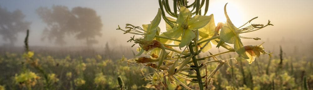
I frequently give presentations on prairies to various groups of people. With some audiences, I discuss fairly technical strategies for prairie restoration or management. Often, however, my primary goal is to introduce my audience to the idea that prairies are more than just a lot of grass.
I think it’s fair to say that most of the general public has very little feel for what prairies really are. That makes it difficult to sell them on the value of prairie conservation. My presentations are always heavy on photographs, and I try to tell a lot of interesting natural history stories about the diverse plants and animals found in grasslands. I hope that when I finish, audience members will walk out thinking prairies are a little more fascinating and worth their notice than they’d previously thought. Maybe that spark of interest will grow into eventual support for prairie conservation among at least a few of them.
As I was preparing for another of those presentations this week, I thought (not for the first time) about the need to spread that spark of interest beyond the small number of people I can speak to in person. Online video is one medium that can help accomplish that, so I took a crack at making one. Since I’m a person who almost never watches a video longer than a minute or two, I kept mine very short.
So – here is my very simple attempt to provide a glimpse of prairie life in about 30 seconds. There are no stories, just a cascade of images designed to showcase the diversity of plants, animals, and prairie landscapes people might not know exist. If people want to learn more, they will hopefully explore a little more on their own. Maybe they’ll even find a blog they could follow…
If the embedded video above doesn’t work for you, try clicking here instead.
And, Grant? If you’re reading this, this one’s for you pal. If the photos don’t do it for you, try reading this short essay by Doug Ladd, one of the smartest people I know.
